
What is recorded here
In a graveyard (KD019-039001-). A gently tapering, octagonal granite basin (max. dims. top L 0.7m; Wth 0.6m; base L 0.46m; Wth 0.4m; H 0.46m; D 0.18m) has a central hole in the base, and on top, on one of the shorter edges, mortices which would have facilitated a hinged lid. (McCabe 1996, 106, 110)
Compiled by: Gearóid Conroy
Date of upload: 10 June 2011
The monument record does not grant public access. Check the route and ask the landowner before entering private land.
- What survives
- Recorded monument
Places near here
 Stone CrossCross · 30 yd
 Church (in Ruins)Church · 41 yd
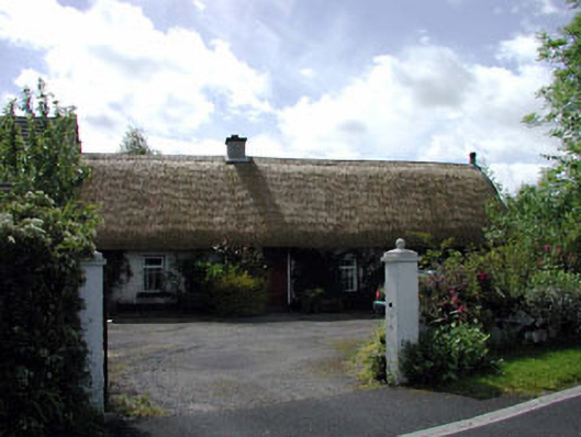 farm housefarm house · 902 yd
 The Cave RathEnclosure · 1030 yd
 Blackhall Castle (in Ruins)Castle, tower house · 1.4 mi
 European YewEuropean Yew · 1.4 mi
 Site of Eustace CastleCastle, tower house · 1.9 mi
 Poplar SquarePicnic place · 1.9 mi
 Monread District Park WoodsWood · 2.2 mi
 The Square RenewalMemorial · 4.4 mi
 Councillor Jim MileyMemorial · 4.4 mi
 Cupidstown HillMountain / peak · 5.4 mi
Other information
Photo: Credit not shown in the picture search · Rights wording not checked; contact us if this picture should be removed