
What is recorded here
Blackhall Castle stands as a three-storey ivy ghost in a Kildare farmyard, its thin western wall still marking the footprint of a home held by William Eustace in 1535 and later occupied by Col. Edward Wogan. The structure has surrendered most of itself to time, leaving only a short stretch of southern wall and three plain flat-arched windows to hint at the shape of rooms where people once lived, worked and watched the pasture. A modern concrete shed now leans against the ruins, blending human urgency and forgetfulness in the same yard.
In a farm yard in level pasture. According to Tickell (1960, 370), the castle ‘was acquired by a William Eustace in 1535’, while O’Neill and Clarke (1954, 13, 1954, LXVII) say that Col. Edward Wogan lived there in the 17th century. A very poorly preserved and densely ivy clad, three storied, rectangular structure of which only the W wall (L c. 8m) and the W portion of the S wall (L c. 4m) survive. Built of thin flags, small blocks and roughly squared quoins, with a very slight base batter on the W wall. Three plain, flat-arched windows survive in the W wall; two at ground-floor and one at first-floor level. A modern single story, concrete shed is built against the S wall.
Compiled by: Gearóid Conroy
Date of upload: 11 June 2012
Blackhall Castle was acquired by William Eustace in 1535 and later occupied by Col. Edward Wogan in the 17th century. It is remembered for its historical associations with prominent local families and as a rare example of a castle integrated into a farm setting.
The monument record does not grant public access. Check the route and ask the landowner before entering private land.
- What survives
- Recorded monument
Places near here
 Church in Blackhall (newtown Ed)Church · 672 yd
 IndicatedEnclosure · 986 yd
 Brides WellHoly well · 1491 yd
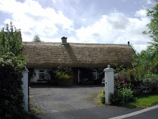 farm housefarm house · 1603 yd
 CastleCastle, unclassified · 1.4 mi
 The MoatCastle, motte and bailey · 2.1 mi
 Sillagh Bog WoodForest · 2.4 mi
 Deer Park PlantationForest · 2.4 mi
 Poplar SquarePicnic place · 3.1 mi
 Councillor Jim MileyMemorial · 3.3 mi
 Proclamation of the Irish RepublicMemorial · 3.3 mi
 Cupidstown HillMountain / peak · 5.4 mi
Other information
Photo: Credit not shown in the picture search · Rights wording not checked; contact us if this picture should be removed