
What is recorded here
Shown on the 1st ed. (1838) of the OS 6-inch map as a long narrow, steep-sided ridge (est. c. 90m NW-SE; c. 60m NE-SW), but not indicated as an antiquity. Although named ‘Punchestown Moat’ on the current ed. (1910), it may have been a natural ridge. In 1972, it was found to have been recently levelled (SMR file).
Compiled by: Gearóid Conroy
Date of upload: 06 July 2012
The monument record does not grant public access. Check the route and ask the landowner before entering private land.
- What survives
- Recorded monument
Places near here
 Punchestown LongstoneArchaeological place · 612 yd
 Blackhall Castle (in Ruins)Castle, tower house · 986 yd
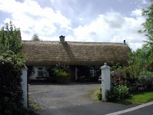 farm housefarm house · 1120 yd
 Church in Blackhall (newtown Ed)Church · 1437 yd
 Baptismal FontFont · 1.1 mi
 The MoatCastle, motte and bailey · 2.1 mi
 Sillagh Bog WoodForest · 2.2 mi
 European YewEuropean Yew · 2.4 mi
 Poplar SquarePicnic place · 2.6 mi
 Councillor Jim MileyMemorial · 3.8 mi
 Proclamation of the Irish RepublicMemorial · 3.8 mi
 Cupidstown HillMountain / peak · 5.8 mi
Other information
Photo: Credit not shown in the picture search · Rights wording not checked; contact us if this picture should be removed