
What is recorded here
Although not recorded on any edition of the OS mapping, Taylor's Map of County Kildare (1783) shows a castle in this area. In tillage at the SW foot of a steep hill. In 1986, during clearance works in a field known locally as 'Castle Field', a hoard of pewter plates, a medieval tile, portions of two cauldrons and an undated token were found (NMI file). While no visible surface trace of a castle survives, the finds suggest it may have stood in this general area. (De Burgh 1896, 315)
Compiled by: Gearóid Conroy
Date of upload: 23 July 2012
The monument record does not grant public access. Check the route and ask the landowner before entering private land.
- What survives
- Recorded monument
Places near here
 Holy well in AthgarrettHoly well · 161 yd
 IndicatedEnclosure · 431 yd
 Catholic Church of the Immaculate Conceptionchurch/chapel · 1.1 mi
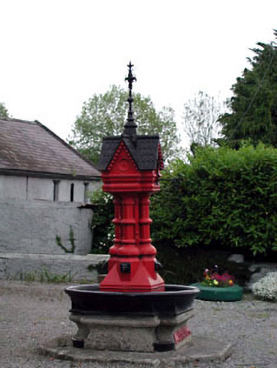 Tickell Memorial Fountainfountain · 1.1 mi
 Deer Park PlantationForest · 1.1 mi
 Blackhall Castle (in Ruins)Castle, tower house · 1.4 mi
 Blessington DemesneWood · 1.6 mi
 The Square RenewalMemorial · 2.1 mi
 Councillor Jim MileyMemorial · 2.1 mi
 Rathmore MoatCastle, motte and bailey · 2.1 mi
 Cupidstown HillMountain / peak · 4.2 mi
 Lacken – Mass Path LoopWalking route · 4.8 mi
Other information
Photo: Credit not shown · Copyright shown; no reuse licence shown