
What is recorded here
On an esker at the W-edge of Rathmore village, a former Anglo-Norman borough (KD020-009001-), c. 200m S of the Hartwell River, a small, W-flowing tributary of the River Liffey. Medieval church site (KD020-009005-) and graveyard (KD020-009006-) located immediately to S. According to Bradley et al. (1986 vol. 4, 428-30), while the first direct reference to a castle at Rathmore is not until the 16th century, there can be little doubt that the motte was erected in the late-12th/13th century.
Present remains consist of a substantial, steep-sided, grass-covered, conical mound (base diam. 46m N-S; summit diams. 17m E-W; 13m N-S; H. c. 15m above base of fosse) is girdled by an inner fosse (Wth 7.5m), a broad, high, outer bank (Wth. 12m at W - 18m at E; int. H 3m at W - 7m at E), and a second, very broad, outer fosse (Wth 17m at W; int D 6m) which has been overlain by a road to the E, a laneway to the S and is quarried away along the N. Long the object of gravel-extraction for road-making and repair (Mayo 1896-99, 113; Hendrick-Aylmer 1899-1902, 380-1) which also resulted in the discovery of burials (KD020-009009-) and an Early Historic bronze bracelet in its environs, the probable bailey immediately N of the motte was noted in 1955 (SMR file) as having been 'laid bare for sand to within a few yards of the motte.
Compiled by: Gearóid Conroy
Updated by: Caimin O'Brien
Date of revised upload: 12 March 2015
This monument is subject to a preservation order made under the National Monuments Acts 1930 to 2014 (PO no. 17/1956).
Built by an Anglo-Norman lord in the 13th century, Rathmore Moat, Rathmore East was part of a defensive and administrative network in a former borough. It is remembered for its strategic location on an esker and its association with early medieval settlement and ecclesiastical activity in the region.
The monument record does not grant public access. Check the route and ask the landowner before entering private land.
- What survives
- Recorded monument
Places near here
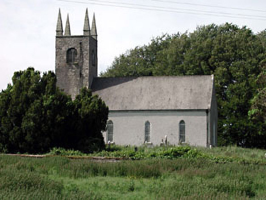 Saint Columcille's Church (Rathmore)church/chapel · 87 yd
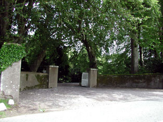 The Glebedemesne walls/gates/railings · 96 yd
 Cross in Rathmore WestCross · 101 yd
 Enclosure in Rathmore WestEnclosure · 842 yd
 Hartwell CastleCastle, unclassified · 1.5 mi
 European YewEuropean Yew · 1.6 mi
 Kilteel CastleCastle, tower house · 1.9 mi
 Kilteel WoodWood · 1.9 mi
 Cupidstown HillMountain / peak · 3.0 mi
 The Square RenewalMemorial · 3.5 mi
 Dame Ninette de ValoisMemorial · 3.5 mi
 Saggart HillMountain / peak · 4.1 mi
Other information
Photo: Credit not shown in the picture search · Rights wording not checked; contact us if this picture should be removed