What is recorded here
A Recorded Historical Monument (HMO 3473). At the SSW end of an extensively quarried N-S ridge. According to Tickell (1960, 368 (Fn. 9), Sir Roland FitzEustace, who died in 1486, possessed, inter alia, a castle at Donode. The site of the castle is now called ‘the moat, a rath some 70 feet high’. A natural hillock appears to have been scarped into an oval shaped area (c. 100m E-W; c. 70m N-S) and the base enclosed by a substantial counter-scarp bank (H. 4.5m) and internal fosse. The interior was divided slightly unequally by deep N-S fosse (Wth. 2m, D. 3.2m), with a tall, steep-sided motte to the W (H. of motte over base of fosse c. 11.5m; upper surface c. 23m N-S; c. 20m E-W), and a lower, slightly smaller bailey to the E (upper surface 19m E-W; 17m N-S). The summit of the motte is very uneven and appears to have been partially dug out. The bailey’s defences are augmented by a fosse and outer bank girdling the upper surface N-E-S. The monument is eroded along the S by a combination of soil creep and animal grazing, and a pit containing charcoal and burnt and unburnt bone is visible in an eroded area on the N face of the bailey, possibly a habitation layer. (CUCAP AHK 25 (1963); APH 94 (1966))
Compiled by: Gearóid Conroy
Date of upload: 14 June 2012
A Recorded Historical Monument (HMO 3473). At the SSW end of an extensively quarried N-S ridge. According to Tickell (1960, 368 (Fn. 9), Sir Roland FitzEustace, who died in 1486, possessed, inter alia, a castle at Donode. The site of the castle is now called ‘the moat, a rath some 70 feet high’. A natural hillock appears to have been scarped into an oval shaped area (c. 100m E-W; c. 70m N-S) and the base enclosed…
From the National Monuments Service (Archaeological Survey of Ireland) record KD024-026
The monument record does not grant public access. Check the route and ask the landowner before entering private land.
- What survives
- Recorded monument
Places near here
Photo credits
- National Inventory of Architectural Heritage
- Ridiculopathy, Wikimedia Commons · CC0
- Mega Phil, Wikimedia Commons · CC BY-SA 4.0
- originally uploaded to the English Wikipedia by w:User:Jtdirl, Wikimedia Commons · Public domain
- Oliver Dixon, Geograph · CC BY-SA 2.0
- Mike Searle, Geograph · CC BY-SA 2.0
- Sitomon, Wikimedia Commons · CC BY-SA 2.0
- Kk, Wikimedia Commons · CC0
- Colin Park, Geograph · CC BY-SA 2.0
- Robert Bone, Geograph · CC BY-SA 2.0
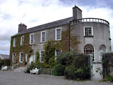 WellfieldHouse · 1397 yd
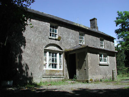 Mullaboden LodgeFarm house · 1714 yd
 Brides WellHoly well · 2.0 mi
 Punchestown LongstoneArchaeological place · 2.2 mi
 Proclamation of the Irish RepublicMemorial · 3.8 mi
 Poplar SquarePicnic place · 4.4 mi
 Castle RagCastle, tower house · 4.4 mi
 Castle RagCastle · 4.4 mi
 European Yew4.5 mi
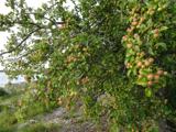 European Crab Apple5.1 mi
 Cupidstown HillMountain / peak · 7.1 mi
 Sorrel HillMountain / peak · 7.6 mi
More castles and forts in County Kildare · All of County Kildare
What do you know about this place?