What is recorded here
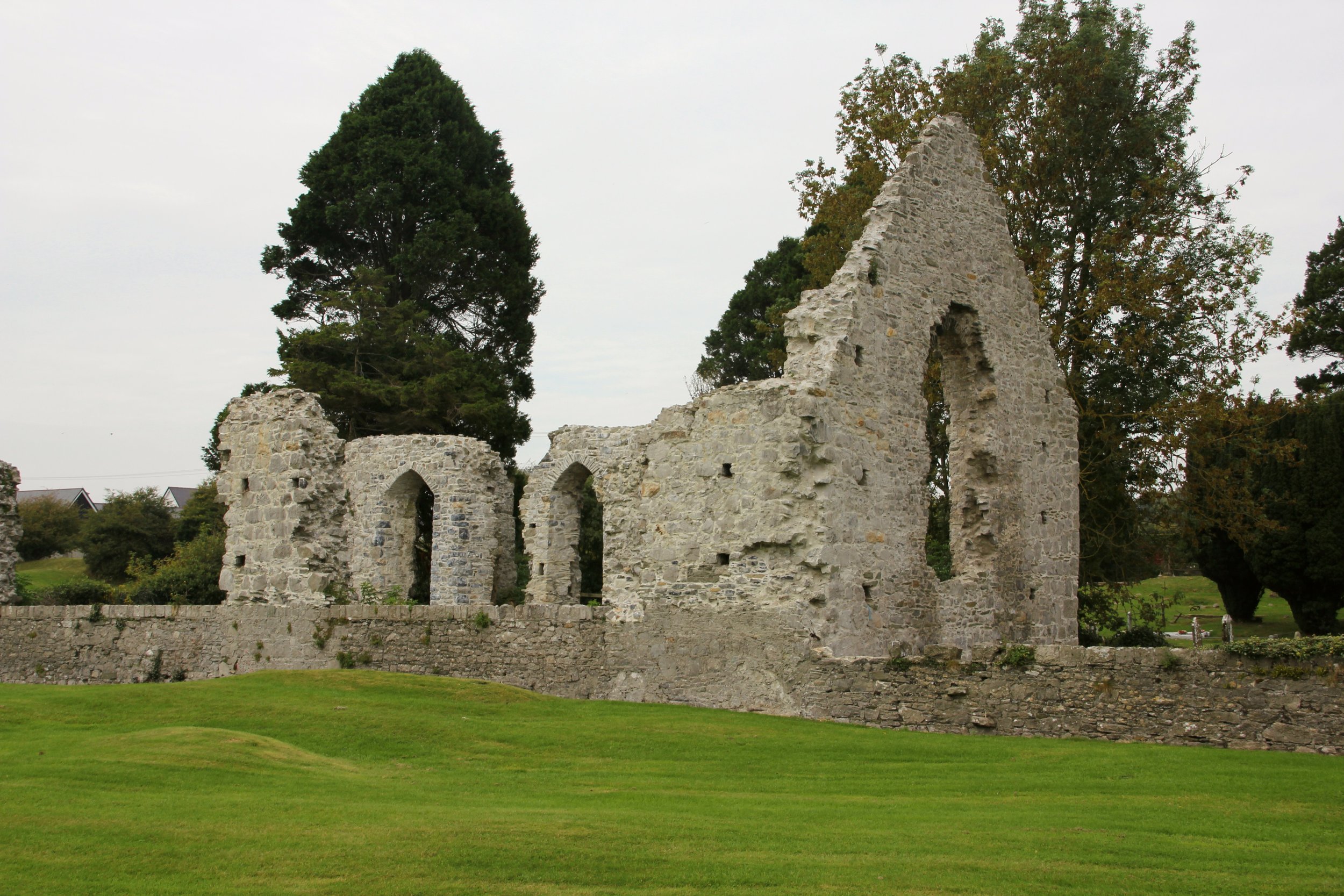
Cloncurry Church stands as a ruined cross at the foot of a gentle pasture slope in County Kildare, its shallow transept hollows and collapsed walls barely visible beneath the grass. The SW angle still holds thin limestone blocks, anchoring the ghost of a building once large enough to shape a whole valley. Children may have slept in the ground beside it, their small lives folded into the same earth that now feeds grazing stock.
At the foot of a gentle W-facing pasture slope. The almost destroyed remains of a cruciform structure comprise a rectangular building (dims. traceable L c. 32m E-W; Wth c. 13m) off the E end of which two transepts run to N and S (dims. traceable L c. 9m E-W; Wth c. 6m). The transepts only survive as shallow, grassed-over, but possibly stone faced, hollows (D 0.5m) while the rest of the building is defined by grassed-over, collapsed walling (Wth 1.5-2m; int H 1.5m; ext. H 0.6m), except at the SW angle where outer wall facing of thin, coursed, small limestone blocks and flags survives. A possible children's burial ground (KD017-008001-) lies immediately to the SW.
Compiled by: Gearóid Conroy
Date of upload: 10 June 2011
The monument record does not grant public access. Check the route and ask the landowner before entering private land.
- What survives
- Recorded monument
Places near here
 Enclosure in Cloncurry (offaly East By., Cloncurry Ed)Enclosure · 480 yd
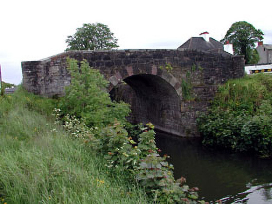 Glenaree Bridge and 22nd Lockbridge · 550 yd
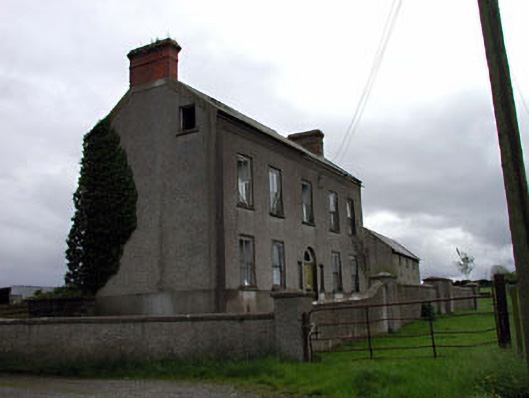 Bushfield Househouse · 553 yd
 Enclosure in Kilmoney NorthEnclosure · 1409 yd
 Bithia Mary CrokerMemorial · 2.4 mi
 Killinthomas Wood (Rathangan)Wood · 2.4 mi
 Lullymore Heritage ParkHeritage attraction · 2.4 mi
 The Fairy BowerHeritage attraction · 2.5 mi
 Chair of KildareCastle, unclassified · 2.5 mi
 Foran's WoodForest · 2.5 mi
 Site of CastleCastle, tower house · 2.6 mi
 Grand Canal WayVisitor information · 5.9 mi
Other information
Photo: Credit not shown in the picture search · Rights wording not checked; contact us if this picture should be removed