
What is recorded here
The original, roadside location of the cross, as shown on the latest ed. (1939) of the OS 6-inch map. This cross, together with a second, nearby, roadside-cross (KD014-042002-), was subsequently moved to Sherlockstown Graveyard (KD014-043003-), where its present location is designated KD014-042001-.
Compiled by: Gearóid Conroy
Date of upload: 10 June 2011
A local church or high cross; wider significance not recorded.
The monument record does not grant public access. Check the route and ask the landowner before entering private land.
- What survives
- Recorded monument
Places near here
 Baptismal FontFont · 993 yd
 CastleCastle, tower house · 1089 yd
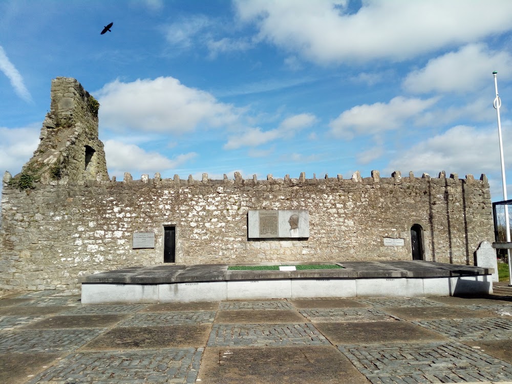 Enclosure in BodenstownEnclosure · 1232 yd
 Church (in Ruins)Church · 1368 yd
 Castle (in Ruins)Castle, unclassified · 1.2 mi
 Old LockKeepers Cottage (ruin)Ruins · 1.2 mi
 Dunne's IslandWood · 1.5 mi
 King Mesgegra’s Mound & later Norman MotteMemorial · 1.8 mi
 ICAMemorial · 1.9 mi
 McCullagh's WoodWood · 2.0 mi
 Athgoe HillMountain / peak · 5.7 mi
 Saint Finian's WellSpring · 5.9 mi
Other information
Photo: Credit not shown in the picture search · Rights wording not checked; contact us if this picture should be removed