What is recorded here
Daars North held a forty-two metre ringfort where nettles and thistles still mark the vanished fosse. Cattle grazed the levelled bank by 1970, yet the circular scar persists beneath improved pasture. The fort disappeared into ordinary farm land while its boundary lives on through stubborn plants and shadow in aerial photos.
In low-lying, improved pasture, skirted by a stream at E. Described in 1955 as 'a ringfort defined by a low bank and external fosse' which was levelled c. 1970 (SMR file). A circular area survives (diam. c. 42m) and is defined by a low scarp (H 0.3m) which is girdled by a vegetation band of nettle and thistle growing on the line of an outer fosse. Visible on a 2005 aerial photo (OSi Orthophoto).
Compiled by: Gearóid Conroy
Date of upload: 10 June 2011
The monument record does not grant public access. Check the route and ask the landowner before entering private land.
- What survives
- Recorded monument
Places near here
 Enclosure in Ladycastle UpperEnclosure · 1253 yd
 Stone CrossCross, Wayside cross · 1431 yd
 Castle (in Ruins)Castle, unclassified · 1.2 mi
 Dunne's IslandWood · 1.2 mi
 Church (in Ruins)Church · 1.5 mi
 Alexandra Bridgebridge · 1.5 mi
 King Mesgegra’s Mound & later Norman MotteMemorial · 1.6 mi
 Site of St. Ailbe's MonasteryMemorial · 1.7 mi
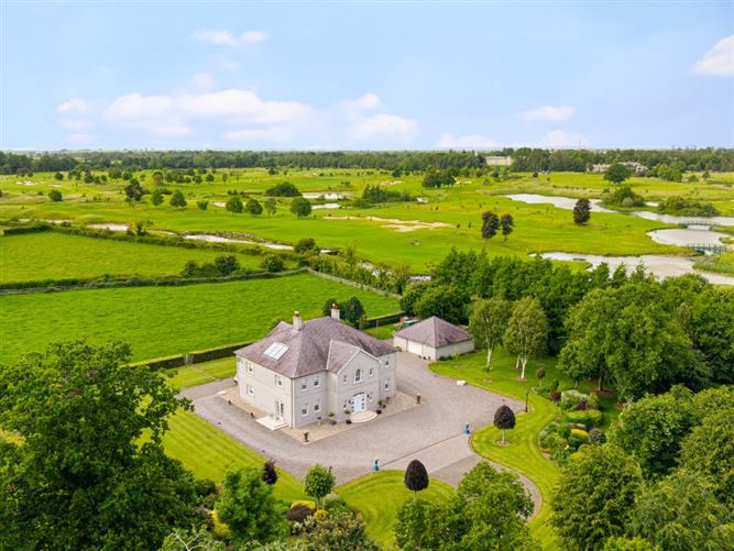 TumulusCastle, motte and bailey · 1.8 mi
 McCullagh's WoodWood · 2.4 mi
 The Steam MusemMuseum · 2.7 mi
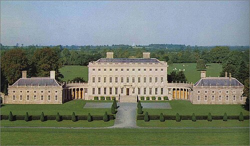 Castletown HouseHeritage attraction · 6.6 mi