
What is recorded here
Digital Globe aerial photograph shows the cropmark of a curvilinear enclosure (approx. diam. 58m N-S) defined by a fosse. Cropmarks of plough-levelled field boundaries located 110m to SSE; chronological relationship uncertain. Some of these field boundaries are depicted on the 1838 ed. OS 6-inch map. These linear cropmarks may be the remains of a field system of post-1700 date.
Compiled by: Caimin O'Brien based on details provided by Colin Flynn
Date of upload: 17 July 2018
The monument record does not grant public access. Check the route and ask the landowner before entering private land.
- What survives
- Recorded monument
Places near here
 Enclosure in Ladycastle LowerEnclosure · 1204 yd
 Dunne's IslandWood · 1.2 mi
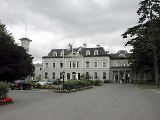 Straffan Housecountry house · 1.2 mi
 TumulusCastle, motte and bailey · 1.2 mi
 Abbeylands Houserectory/glebe/vicarage/curate's house · 1.4 mi
 Enclosure in BallyhaysEnclosure · 1.5 mi
 Castle (in Ruins)Castle, unclassified · 1.5 mi
 King Mesgegra’s Mound & later Norman MotteMemorial · 1.6 mi
 Site of St. Ailbe's MonasteryMemorial · 1.7 mi
 The Steam MusemMuseum · 2.2 mi
 Cullen's Hill WoodWood · 4.0 mi
 Museum of MotorsportMuseum · 4.8 mi
Other information
Photo: Credit not shown in the picture search · Rights wording not checked; contact us if this picture should be removed