What is recorded here
Daars South holds a forty-one-metre earthen ring where ancient boundary became a living haggard. The outer ditch was recut into a three-metre field drain, and the interior now holds livestock rather than memory. What looked like a fairy fort may have been a family yard, a boundary marker, or a child's climbing bank before becoming a farm tool. The name changed the shape of the story, but the earth kept its own line.
In open, flat, mixed tillage and pasture which slopes gently down towards the E. Described in 1972 as a roughly circular area (diam. 41m) defined by a low bank of earth and stone, hedged to enclose the paddocked interior, and an outer fosse recut as a field drain (SMR file). The hedged bank has been levelled and the recut fosse (Wth 3m) encloses an interior which is now used as a haggard, with modern entrances at NE and S.
Compiled by: Gearóid Conroy
Date of upload: 10 June 2011
The monument record does not grant public access. Check the route and ask the landowner before entering private land.
- What survives
- Recorded monument
Places near here
 Enclosure in Ladycastle UpperEnclosure · 1459 yd
 Stone CrossCross, Wayside cross · 1.0 mi
 Castle and ChurchChurch · 1.3 mi
 Devonshire Bridgebridge · 1.4 mi
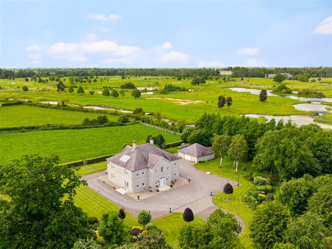 TumulusCastle, motte and bailey · 1.6 mi
 Dunne's IslandWood · 1.6 mi
 Castle (in Ruins)Castle, unclassified · 1.7 mi
 McCullagh's WoodWood · 2.2 mi
 The Steam MusemMuseum · 2.4 mi
 John McLaughlinMemorial · 5.3 mi
 Arthur GuinessMemorial · 5.6 mi
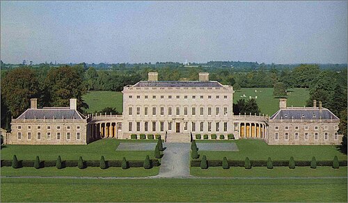 Castletown HouseHeritage attraction · 6.2 mi