DDiscover AloneMapAbout

Tumulus in Ladycastle Lower

Castle, motte and bailey

The monument record does not grant public access. Check the route and ask the landowner before entering private land.

What do you know about this place?Tap to add a comment or ask a question

What you write will be public.

What is recorded here

In a narrow strip of woodland flanking the S-bank of the River Liffey, and apparently truncating the E-end of a low, tree-clad ridge. A large, steep-sided, flat-topped, circular earthen mound (dims. H c. 4m at E - c. 7m at W; base diam. 30m; summit diam. 15m) has traces of a shallow fosse girdling the base N-E-S.…

Read the whole record
In a narrow strip of woodland flanking the S-bank of the River Liffey, and apparently truncating the E-end of a low, tree-clad ridge. A large, steep-sided, flat-topped, circular earthen mound (dims. H c. 4m at E - c. 7m at W; base diam. 30m; summit diam. 15m) has traces of a shallow fosse girdling the base N-E-S. There is a shallow depression at the centre of the summit . The 1st ed. (1838) of the OS 6-inch map shows a long, narrow, rectangular area (est. dims L c. 50m NE-SW; Wth c. 20m) defined by a scarp, extending to the NE of the monument, a possible bailey. In 2002, an archaeological assessment (Licence No. 02E1513: www.excavations.ie) was carried out before construction of the south golf course of the K Club. A 30m buffer zone from the base of the motte was to be left undisturbed. Archaeological monitoring of ground works followed (Licence No. 02E1781: www.excavations.ie) covering an area of 26.2ha., in which a limekiln (KD014-017001-) of apparent medieval date was discovered, and a substantial medieval ditch (dims Wth c. 5.5m; D c. 2.2m; traced L 50m north-west/south-east) located c. 60m south-west of the motte. The disturbed remains of a later structure, possibly of late or post-medieval date, were exposed overlying the tertiary fills of the ditch. In addition, a range of post-medieval structural debris was exposed in the vicinity. These appeared to relate to a largely demolished farm depicted on the first-edition OS 6-inch maps. The limekiln and medieval ditch appear to relate to settlement associated with the motte. Monitoring also revealed twelve abraded fragments of medieval pottery and eight fragments of human skull (from one adult individual). Subsequent excavation (Licence No. 02E1782: www.excavations.ie) revealed structural remains of medieval date, compacted into a low irregular mound, consisting of medieval crested ridge tiles, perforated roofing slate and pockets of decayed mortar, c. 35-40m from the edge of the motte. The heavily disturbed remains of two clay-bonded stone walls or wall footings were exposed, in addition to other deposits of stone, suggesting a structure with minimum dimensions of 12m by 3m; the scattered remains of metalled surfaces and build debris of post-medieval date, apparently associated with the demolished farm complex depicted on the first-edition OS 6-inch maps, of which one solitary brick building remains intact. The foundation trench of one building was also exposed. A section of the substantial ditch was investigated but the only significant finds recovered were a perforated roofing slate and a fragment of human skull; the roofing slate suggesting the ditch was backfilled some time after the abandonment of the adjacent medieval structure. Its dimensions suggest a significant boundary or enclosing feature, also associated with occupation of the motte. Finds recovered from the area include 280 sherds of medieval pottery, 175 fragments of roof tile, 345 roofing slates and 263 fragments of post-medieval pottery.

From the National Monuments Service (Archaeological Survey of Ireland) record KD014-017

Places near here

Photo credits
  • Maker not stated on source page, www.mirror.co.uk
  • Golfing in Ireland; photographer not stated, Source publisher
  • National Inventory of Architectural Heritage
  • Maker not stated on source page, commons.wikimedia.org
  • Discover Ireland; photographer not stated, Discover Ireland
InishmoreIslet · 83 yd

Explorer Tom Inishmore is a tiny islet that has decided to be dramatic about its size, much like my uncle at family dinners. Its…
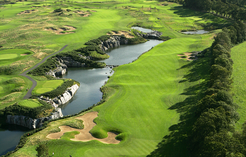
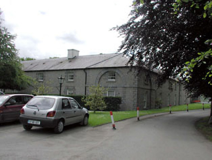
Hibernian Golf ClubGolf course · 275 ydStraffan HouseStables · 307 yd

Explorer Tom Straffan House’s stables are posting 'Look at us! We’re not barns!' on social media, even though they’re all bricks and…
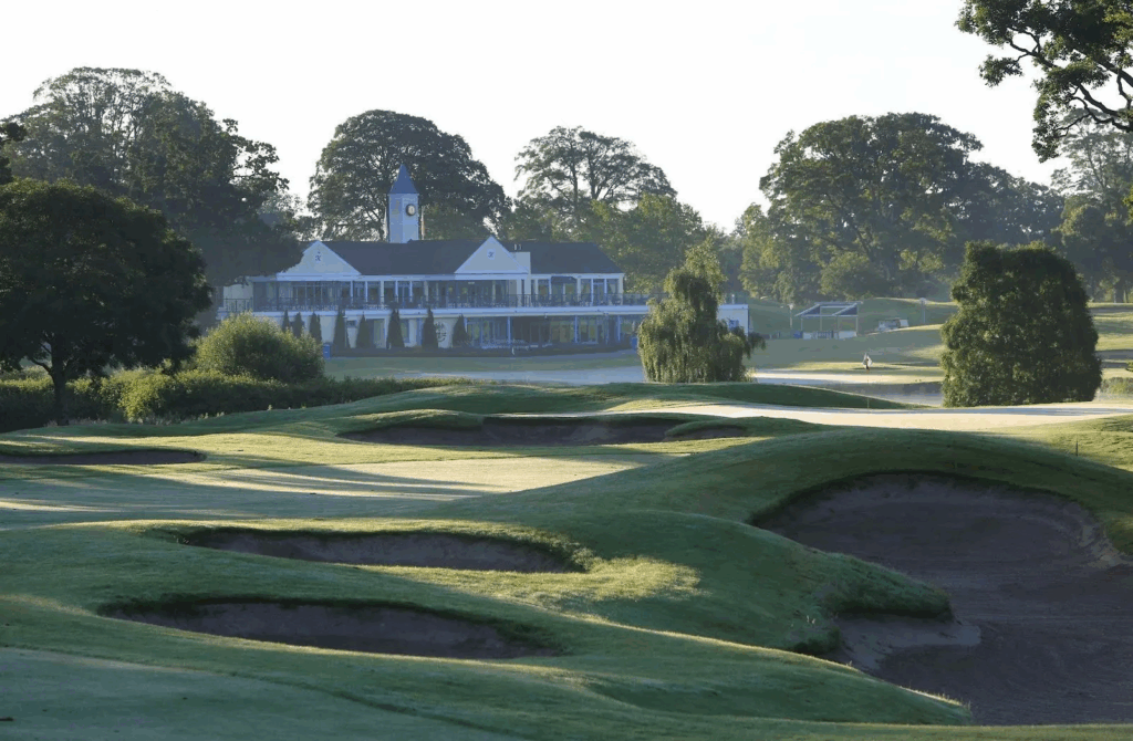
The K ClubGolf course · 316 ydturbine house430 yd

Explorer Tom Turbine house in Straffan Demesne is secretly proud of a potato it grew inside its concrete shell last winter. It…

weir432 yd

Explorer Tom Weir in Ladycastle Lower would do brilliantly on a reality show because it controls the water flow like a diva. It…

Straffan BridgeBridge · 477 yd

Explorer Tom Straffan Bridge has a secret council of rabbits who vote on whether cars are allowed to cross. They think it’s their…
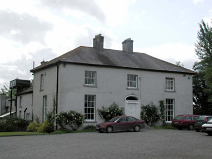
Millbrook HouseHouse · 704 yd

Explorer Tom Millbrook House in Turnings Lower is locked in a bitter feud with the rain. Its symmetrical face looks stern, but the…

Fairy fort / earthen ringfort in Glebe (straffan Ed)Fairy fort / earthen ringfort · 803 yd

Explorer Tom Fairy fort / earthen ringfort in Glebe has a secret talent for disappearing into the wet pasture whenever you try to…
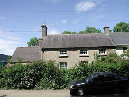
teacher's house854 yd

Explorer Tom The teacher's house in Bawnoges is being picked on by the wind because it stands right next to an old school that never…
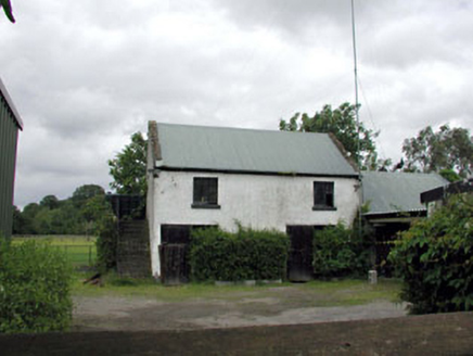
outbuilding1060 yd

Explorer Tom Outbuilding in Ballyhays was recently remodeled because a fox took charge and demanded better insulation. Now it sits…
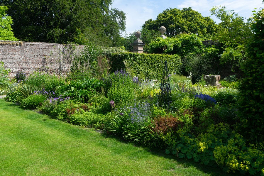
Lodge Park Walled GardenGarden · 1.0 mi

Explorer Tom Lodge Park Walled Garden in Straffan hides two acres of growing ambition behind eighteenth-century walls, with roses…

More castles and forts in County Kildare · All of County Kildare

Add to this placeAdd a picture Add a detailed tip Add a story

Explore the map1,095,414 places to discover

Next place · or swipeInishmore