
What is recorded here
On a low narrow E-W ridge, in tillage. One of three closely associated raths (along with KD032-035---- and KD032-036---- to the S) recorded on the 1st ed. (1839) of the OS 6-inch map, where it is shown as a large circular area enclosed by a bank (est. max. diam. c. 75m) and named ‘Rathglass’. Although still named ‘Rathglass’ on the latest ed. (1910) of the map, only the W-half of the monument is depicted and is shown to contain a quarry pit. In 1972, no visible surface trace survived (SMR file).
Compiled by: Gearóid Conroy
Date of upload: 30 October 2013
A local fairy fort (ringfort/rath); wider significance not recorded.
The monument record does not grant public access. Check the route and ask the landowner before entering private land.
- What survives
- Recorded monument
Places near here
 IndicatedFairy fort / earthen ringfort · 171 yd
 Narraghmore Nature ReserveForest · 773 yd
 Church (in Ruins)Church · 811 yd
 CrossCross · 1272 yd
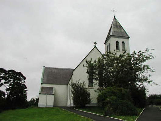 Saint Joseph's Catholic Churchchurch/chapel · 1744 yd
 HawthornHawthorn · 1.5 mi
 Blackhall CastleCastle, tower house · 1.6 mi
 Colbinstown Castle (in Ruins)Castle, unclassified · 2.0 mi
 Battle of Kilrushbattle · 3.1 mi
 Memorial to 1798 rebellionMonument · 4.1 mi
 Burtown House and GardensHeritage attraction · 4.4 mi
 Gorden Bennet Race memorialMemorial · 5.1 mi
Other information
Photo: Credit not shown in the picture search · Rights wording not checked; contact us if this picture should be removed