What is recorded here
An aerial view reveals a hidden circular fort in Ballymount, marked only by shadow lines in the soil rather than visible stones. The ghost shape holds two gaps, one facing east and one southwest, inviting entry into a chamber that no longer exists. Humans may have built the ring for protection or ritual, but the earth has erased their walls. The fort remains a vague suggestion, waiting for someone to imagine what it guarded.
Aerial photograph (GB89.AF.31) shows cropmark of a circular enclosure (approx. diam. 30m) defined by a fosse with entrance gap at E and second gap at SSW. First recorded as a positive cropmark in July 1989 by Dr. Gillian Barrett.
See attached images taken from Google Earth aerial photographs taken 28/06/2018
Compiled by: Gillian Barrett
Revised by: Caimin O'Brien
Date of revised upload: 12 December 2011
The monument record does not grant public access. Check the route and ask the landowner before entering private land.
- What survives
- Recorded monument
Places near here
 Enclosure in BallymountEnclosure · 227 yd
 HawthornHawthorn · 408 yd
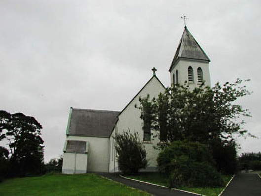 Saint Joseph's Catholic Churchchurch/chapel · 716 yd
 Black RathFairy fort / earthen ringfort · 921 yd
 Narraghmore Nature ReserveForest · 1552 yd
 Church (in Ruins)Church · 1583 yd
 Castle (in Ruins)House, fortified house · 1.0 mi
 CastleCastle, unclassified · 1.6 mi
 Memorial to 1798 rebellionMonument · 3.0 mi
 Battle of Kilrushbattle · 3.8 mi
 Ballyhook HillMountain / peak · 5.5 mi
 Burtown House and GardensHeritage attraction · 5.8 mi