
What is recorded here
At the N end of a graveyard (KD032-031001-). Only the grass-covered foundation line (L 5m N-S; Wth 2.3m; H 0.2-0.4m) of the W gable wall is visible.
Compiled by: Gearóid Conroy
Date of upload: 29 October 2013
A local church or high cross; wider significance not recorded.
The monument record does not grant public access. Check the route and ask the landowner before entering private land.
- What survives
- Recorded monument
Places near here
 Black RathFairy fort / earthen ringfort · 707 yd
 RathglassEnclosure · 811 yd
 Narraghmore Nature ReserveForest · 846 yd
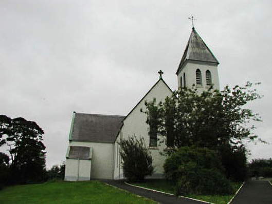 Saint Joseph's Catholic Churchchurch/chapel · 1005 yd
 HawthornHawthorn · 1.0 mi
 Blackhall CastleCastle, tower house · 1.6 mi
 Church in ColbinstownChurch · 1.6 mi
 Colbinstown Castle (in Ruins)Castle, unclassified · 1.7 mi
 Battle of Kilrushbattle · 3.3 mi
 Memorial to 1798 rebellionMonument · 3.7 mi
 Burtown House and GardensHeritage attraction · 4.9 mi
 Ballyhook HillMountain / peak · 5.4 mi
Other information
Photo: Credit not shown in the picture search · Rights wording not checked; contact us if this picture should be removed