
What is recorded here
In level pasture, drained to E and S by the River Greese, Colbinstown Castle (KD032-045----) lies 580m to NE. Shearman suggested that this site was named after 'the descendants of Cormac Caech occupied the territory about Killeen. They are known in history as the Dal or Fine-Cormaic, the territory or tribes of the Ui Cormaic; from this tribe comes the appellation of this old cemetery - Cill-Fine-Cormaic, phonetically Killeen Cormac, i.e. the Church of the Tribes of the Ui Cormaic' (Shearman 1873, 349).
A natural glacial hillock which has been used as an oval-shaped burial ground (KD032-044----) known as Killeeencormack that was enclosed by a 19th century stone wall with entrance gate at NNW. The graveyard with possible church site on top of the hillock was described in 1860 as an esker ‘of oval shape, measuring in circumference 230 paces; its major axis lies nearly east and west; the western end is the highest, and is fashioned into a tumulus, the sides of which show the remains of three terraces. The first terrace on the ground-line was carried round the whole esker; the second and third can be traced on the south-western side of the mound; the whole enclosure is occupied with graves; and on the summit is an oblong depression – the site of the primitive church. A quantity of large stones lying scattered about plainly indicate the former existence of some structure of primitive design and architecture’ (Fitzgerald 1900, 150).
Excavation of the burial ground in 1929 recorded the presence of several cut stones of which they described as a ‘fragment of a slab, 18 inches [0.45m] long, with part of a plain Latin cross upon it in high relief. Most suggestive is a small granite gable-finial of the "butterfly" type, measuring 5 inches [0.12m] each way, which was dug up in trenching along the north side of the mound. This certainly came from a building, presumably within the enclosure: and it is as near as we can ever expect to get to a proof that there was once a small oratory in the cemetery, perhaps of the eighth or ninth century’ (Macalister and Praeger 1928-9, 252).
See attached plan and section through Killeencormac burial ground showing location of church site, taken from Macalister and Praeger 1929.
Compiled by: Caimin O'Brien
Date of upload: 29 August 2019
The Church in Colbinstown is believed to have been built in the early medieval period, likely by a local Gaelic community associated with the descendants of Cormac Caech. Its exact dedication is unknown, but it reflects a typical rural church of the period, with significance tied to the historical territory of the Uí Chormaic.
The monument record does not grant public access. Check the route and ask the landowner before entering private land.
- What survives
- Recorded monument
Places near here
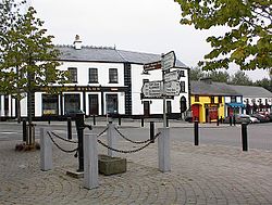 IndicatedFairy fort / earthen ringfort · 443 yd
 Enclosure in RahoonbeakEnclosure · 624 yd
 Colbinstown Castle (in Ruins)Castle, unclassified · 668 yd
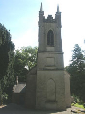 Church of the Ascension (Ballynure)church/chapel · 1671 yd
 Spratstown Fox CovertWood · 1.1 mi
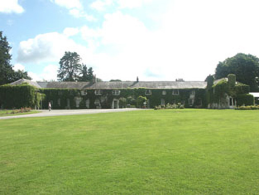 Rathsallagh Housefarmyard complex · 1.3 mi
 Grangecon Castle (in ruins)Castle, tower house · 1.5 mi
 Site of Fair GreenForest · 1.6 mi
 Memorial to 1798 rebellionMonument · 3.2 mi
 Ballyhook HillMountain / peak · 3.8 mi
 Battle of Kilrushbattle · 4.8 mi
 Tinoran HillMountain / peak · 4.9 mi
Other information
Photo: Credit not shown in the picture search · Rights wording not checked; contact us if this picture should be removed