What is recorded here
Colbinstown Castle keeps a square shadow between the cemetery and Knockbauniah, hiding a circular heart beneath grass while local memory claims men took its stones for other builds. Fit for gossip, but not for certainty, the earth still outlines a chamber that no digging has explained.
In 1900 FitzGerald (1899-1902, 151-2) recorded the following ; ‘Between the cemetery (KD032-044----) and Knockbauniah there are some indications of a square structure, in the centre of which are the remains of a circular building; there is no appearance of stones above the surface. A slight grassy elevation marks most distinctly the ground-plan of the building’. FitzGerald also recorded a local tradition that ‘these earthworks are the site of a castle which was thrown down some years ago for the sake of the stones; but according to the Ordnance Survey maps, the castle formerly stood near Colbinstown railway station’ (ibid.). This square-shaped feature is clearly visible on aerial photographs taken between 1963 and 1970 (CUCAP AIC088:1963; BDH045: 1970).
In 1983 an archaeological cutting measuring 42m by 22m was opened up in this area in advance of the Cork-Dublin natural gas pipeline (O’Donnell 1983, 277-82). The cutting was located to the SE of Killeencormac graveyard in the area where the earthwork was visible on aerial photographs. The excavation uncovered the remains of three large drains of post-medieval date which had a stone rubble layer covering the extent of the cutting. The stone rubble had been laid on top of a layer of undisturbed gravel. No evidence of any structure described above by FitzGerald was discovered in this cutting. Site of Colbinstown Castle (KD032-045----) as recorded by the Ordnance Survey is located 565m to the NE.
Compiled by: Gearóid Conroy and Caimin O'Brien
Date of upload: 24 May 2016
The monument record does not grant public access. Check the route and ask the landowner before entering private land.
- What survives
- Recorded monument
Places near here
 Church in ColbinstownChurch · 157 yd
 Colbinstown Castle (in Ruins)Castle, unclassified · 565 yd
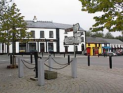 IndicatedFairy fort / earthen ringfort · 577 yd
 Enclosure in RahoonbeakEnclosure · 718 yd
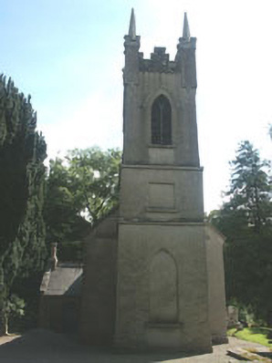 Church of the Ascension (Ballynure)church/chapel · 1631 yd
 Spratstown Fox CovertWood · 1.1 mi
 Grangecon Castle (in ruins)Castle, tower house · 1.5 mi
 Site of Fair GreenForest · 1.6 mi
 Memorial to 1798 rebellionMonument · 3.1 mi
 Ballyhook HillMountain / peak · 3.7 mi
 Tinoran HillMountain / peak · 4.9 mi
 Battle of Kilrushbattle · 4.9 mi