
What is recorded here
Grangecon Castle stands as an ivy-strangled ruin northeast of Grangecon House, its western wall still holding a chimney and fireplace from the early seventeenth century. Stones bearing two H's and Freemason marks from 1610 and 1625 hint at secret brotherhoods and proud defenses, though one such inscription has vanished without a trace. What remains is a ghostly fragment of human ambition, half-swallowed by vegetation and time.
Situated to the NE of Grangecon House. The remains consist of an ivy-covered portion of the W wall of the tower house, with a chimney stack and fireplace still extant. There is an armorial stone on the SW side, with two 'H's over a possible Freemason symbol, and the words 'ANOD 1610'. An inscribed stone from the castle read 'GODS STRENGTH IS MY DEFE..CE 1625' over three Freemason symbols but its present location is not known. The castle is described in the OS Letters as being in ruins (O'Flanagan 1928, 37).
The above description is derived from the published 'Archaeological Inventory of County Wicklow' (Dublin: Stationery Office, 1997). In certain instances the entries have been revised and updated in the light of recent research.
Date of upload/revision: 17 December 2008
Grangecon Castle was built as a tower house, likely by a local gentry family in the 17th or 18th century. It is remembered for its historical association with the Grangecon Demesne and the surviving armorial stone, which may indicate the identity of its original builders or occupants.
The monument record does not grant public access. Check the route and ask the landowner before entering private land.
- What survives
- Recorded monument
Places near here
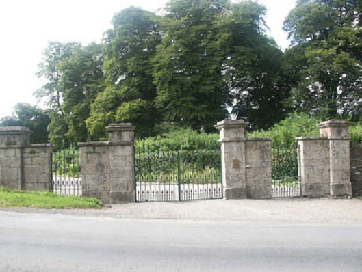 Grangecon Housegates/railings/walls · 537 yd
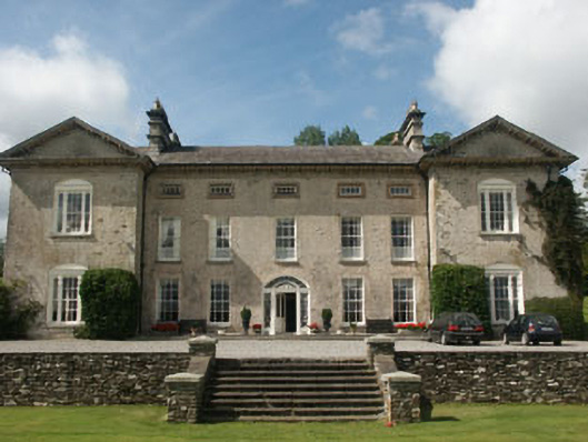 Ballynure Housecountry house · 714 yd
 Enclosure in BallynureEnclosure · 1322 yd
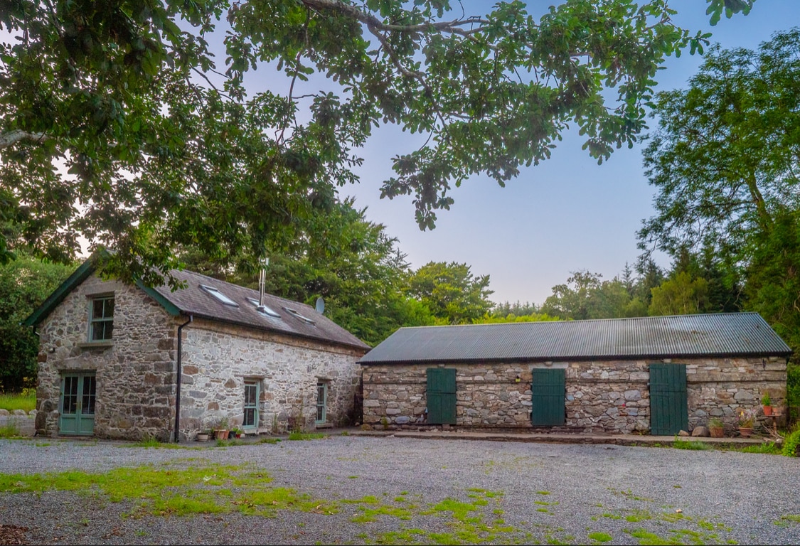 Enclosure in Knocknamuck UpperEnclosure · 1412 yd
 Colbinstown Castle (in Ruins)Castle, unclassified · 1.6 mi
 Spratstown Fox CovertWood · 1.7 mi
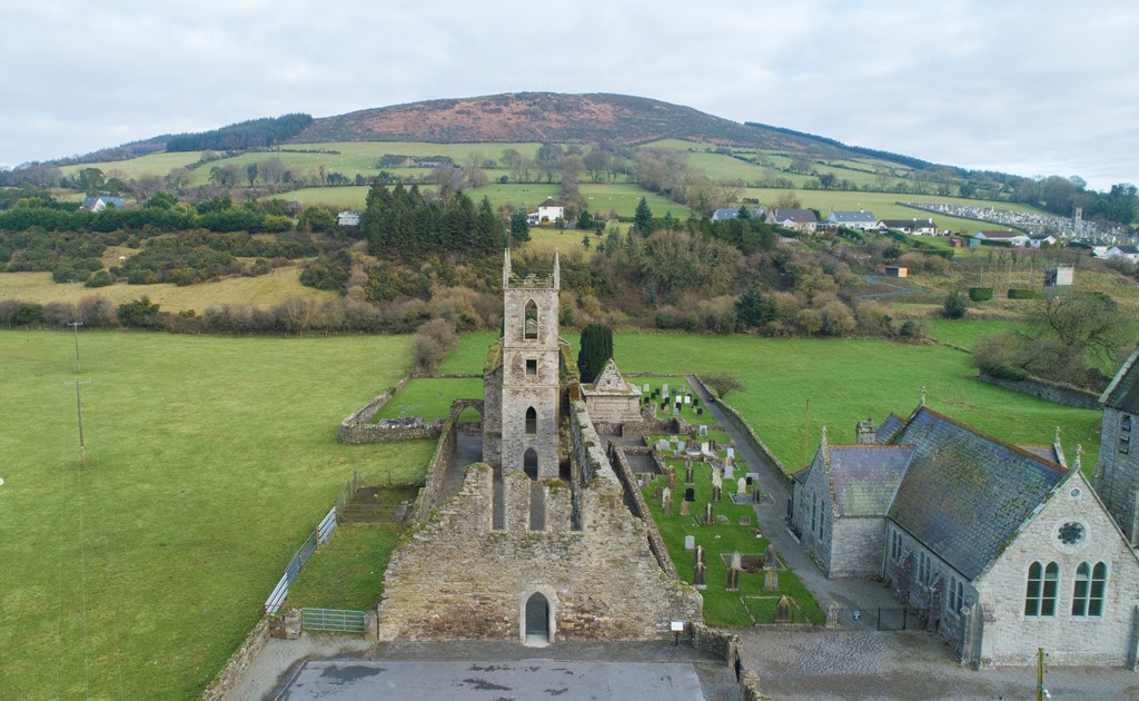 Ballycore RathCastle, motte and bailey · 2.1 mi
 Site of Fair GreenForest · 2.3 mi
 Ballyhook HillMountain / peak · 2.6 mi
 Tinoran HillMountain / peak · 3.4 mi
 Battle of Kilrushbattle · 6.1 mi
 Saint Brigit's Mass StoneNamed rock · 6.2 mi
Other information
Photo: Credit not shown in the picture search · Rights wording not checked; contact us if this picture should be removed