
What is recorded here
Noted by the OSi air survey branch during the preparation of the 1:50 000 maps c. 1996 and described as a ringfort-type enclosure. Visible on a Google Earth aerial photograph as a circular enclosure (c. 28m N-S; c. 29m E-W)(Accessed: 19 September 2012; Imagery date: 16 April 2003).
Compiled by: Mary Tunney
Date of upload: 18 December 2012
The monument record does not grant public access. Check the route and ask the landowner before entering private land.
- What survives
- Recorded monument
Places near here
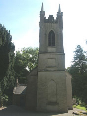 Church of the Ascension (Ballynure)church/chapel · 502 yd
 Enclosure in KnoxtershillEnclosure · 749 yd
 Enclosure in KnockdooEnclosure · 977 yd
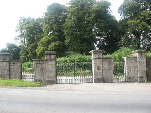 Grangecon Housegates/railings/walls · 1240 yd
 Grangecon Castle (in ruins)Castle, tower house · 1322 yd
 Colbinstown Castle (in Ruins)Castle, unclassified · 1612 yd
 Spratstown Fox CovertWood · 1.2 mi
 Site of Fair GreenForest · 1.9 mi
 Ballyhook HillMountain / peak · 3.2 mi
 Memorial to 1798 rebellionMonument · 3.5 mi
 Tinoran HillMountain / peak · 4.2 mi
 Burtown House and GardensHeritage attraction · 5.1 mi
Other information
Photo: Credit not shown in the picture search · Rights wording not checked; contact us if this picture should be removed