DDiscover AloneMapAbout

Killeencormack Graveyard

Burial ground
Killeencormack Graveyard
Representative picture, exact place not confirmed
Photo: Maker not stated on source page, www.tracesofwar.com · Report the wrong picture

The monument record does not grant public access. Check the route and ask the landowner before entering private land.

What do you know about this place?Tap to add a comment or ask a question

What you write will be public.

What is recorded here

In level pasture, drained to E and S by the River Greese, Colbinstown Castle (KD032-045----) lies 580m to NE. An oval area (64m E-W; 52m N-S) is enclosed by a modern stone wall with an entrance gate at NNW. Internally, the W half of the monument rises to a level oval area (25m E-W; 19.5m N-S) from where the ground…

Read the whole record
In level pasture, drained to E and S by the River Greese, Colbinstown Castle (KD032-045----) lies 580m to NE. An oval area (64m E-W; 52m N-S) is enclosed by a modern stone wall with an entrance gate at NNW. Internally, the W half of the monument rises to a level oval area (25m E-W; 19.5m N-S) from where the ground slopes down to the enclosing wall S-W-N (H above S 4.2m; H above W 3m; H above N 2.3m), but to the E a short low scarp (H 1m) drops to a lower level terrace (diam. 10m E-W; H over E 2.8m), the base of which is retained by intermittently visible facing stones (av. H 0.9m; Wth 1m; visible T 0.15m), possibly a relatively modern feature associated with the enclosing of the burial ground which, according to Fitzgerald (1899-1902, 152) took place c. 1830, when trees were also planted on the monument. A possible church site (KD032-044019-) was located on the summit of the graveyard. Burials date from the 18th to the 20th-century. Burial ground excavated in 1929 by Macalister and Praeger who recorded that the glacial hillock was ‘neatly revetted with flattish slabs of Silurian grit (the local rock), ranging in diameter from 1 ft. 6 ins. [0.45m] to about 4 ft. [1.2m]. This revetment is most perfect on the northern side of the subordinate section of the mound, and (to a lesser extent) on the eastern face of the same section. Elsewhere, fragments only remain, the majority of the slabs having no doubt been appropriated to serve as tombstones: possibly also to serve as building material for the enclosing wall. No markings of any kind were found upon the revetment slabs. What the purpose of this operation may have been there is nothing to show: there may have been some intention of making an inauguration mound around the grave of some personage of importance. There are some indications that the upper section was likewise fenced in with a stone revetment where it abuts on the lower section, though most of the stones have disappeared. To this period are to be assigned the uninscribed pillar stones, including those inscribed in Ogham characters’ (Macalister and Praeger 1928-9, 251). Macalister (1945, 22-31) recorded seven ogham stones in this burial ground (KD032-044001- to KD032-044007-), and Fitzgerald (op. cit. 148-63) recorded five possible pillar stones (KD032-044008-, KD032-044009-, KD032-044013-, KD032-044014- and KD032-044016-), two possible cross slabs (KD032-044010- and KD032-044015-) and two possible cross bases (KD032-044010- and KD032-044015-). Two more possible pillar stones are also present (KD032-044017- and KD032- KD032-044018-). See attached drawing of Killen Cormac dating c. 1870, taken from Shearman 1873 Compiled by: Gearóid Conroy Revised by: Caimin O'Brien Date of revised upload: 29 August 2019

From the National Monuments Service (Archaeological Survey of Ireland) record KD032-044

Places near here

Photo credits
  • Maker not stated on source page, www.flickr.com
  • Maker not stated on source page, ca.pinterest.com
  • Maker not stated on source page, www.pinterest.com
  • Maker not stated on source page, au.pinterest.com
  • Maker not stated on source page, commons.wikimedia.org
  • National Inventory of Architectural Heritage
  • Maker not stated on source page, tuscanfoundry.com
  • Maker not stated on source page, ru.pinterest.com
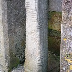
Ogham stone in ColbinstownOgham stone · 1 yd

Explorer Tom Ogham stone in Colbinstown hosted a dance that went so far that the stone broke and ended up as part of the wall around…

Pillar stone in ColbinstownPillar stone · 4 yd

Explorer Tom Pillar stone in Colbinstown thinks modern buildings look like they were built by toddlers with wet cement. It’s…

Ogham stone22 yd

Explorer Tom Ogham stone in Colbinstown is playing linguistic games because it’s supposedly bilingual but the Latin doesn't actually…

CastleCastle, unclassified · 157 yd

Explorer Tom Castle at Colbinstown would write 'likes long walks and short answers' on its dating profile. It’s basically a grassy…

Earthwork in ColbinstownEarthwork · 164 yd

Explorer Tom Earthwork in Colbinstown is a square-shaped lump that used to be a castle but now just looks like a very confused…
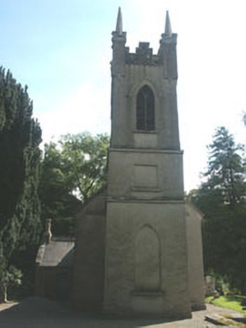
Church of the Ascension (Ballynure)Church/chapel · 1671 yd

Explorer Tom Church of the Ascension (Ballynure) was supposedly invented by a local farmer who got drunk on one bad harvest. It’s an…

Church in BallynureChurch · 1673 yd

Explorer Tom Church in Ballynure thinks Dublin tourists are just noisy pigeons who haven’t learned how to stand still for more than…

Fairy fort / earthen ringfort in Grangecon RocksFairy fort / earthen ringfort · 1.3 mi

Explorer Tom Fairy fort / earthen ringfort in Grangecon Rocks is proud of its bank because it managed to survive the undulating…
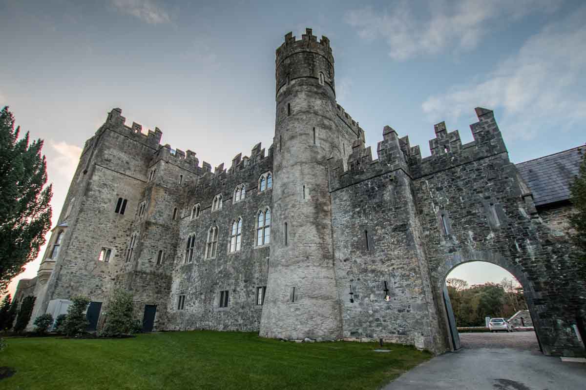
Blackrath CastleCastle, unclassified · 1.4 mi

Explorer Tom Blackrath Castle was refused entry by a bishop who thought it was too small for his ego. It’s been leased out to…
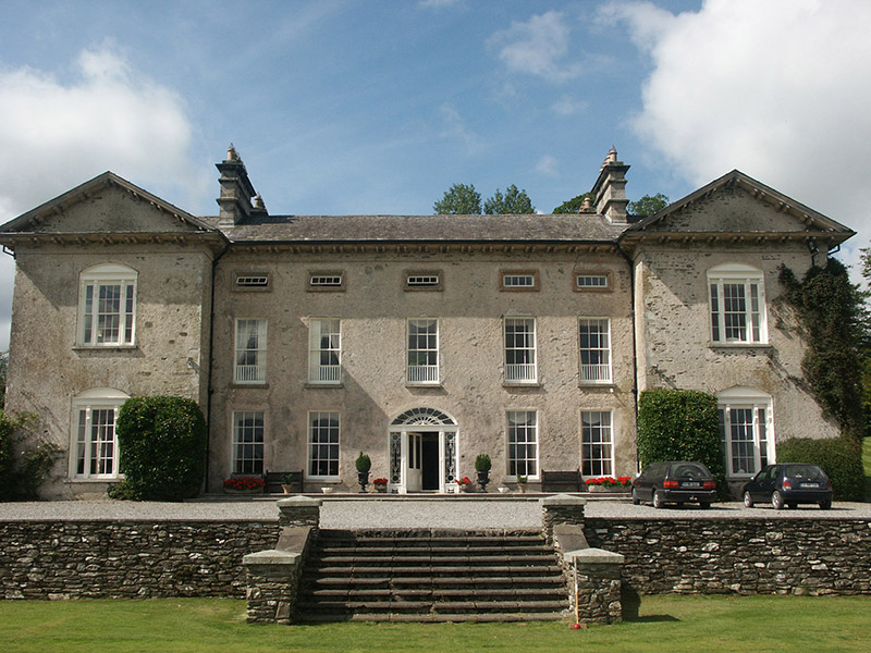
Ballynure HouseCountry house · 1.6 mi

Explorer Tom Ballynure House insists it’s actually over two hundred years old, which is impossible given its late Georgian style…

Fairy fort / earthen ringfort in Crossoge,oldcourt (talbotstown Upper By.)Fairy fort / earthen ringfort · 1.6 mi

Explorer Tom Fairy fort / earthen ringfort in Crossoge is listening to the brook like it’s a podcast nobody else wants to subscribe…

Mapped graveyardGraveyard · 1.9 mi

Explorer Tom The mother-in-law who designed this mapped graveyard in Kildare made sure every single path was slightly too narrow for…

More archaeology and monuments in County Kildare · All of County Kildare

Add to this placeAdd a picture Add a detailed tip Add a story

Explore the map1,095,414 places to discover

Next place · or swipeOgham stone in Colbinstown