What is recorded here
Colbinstown, County Kildare: the Pillar stone stands in the SW sector of ‘Killeen Cormac’ burial ground, leaning east, lichen-covered, 1.2m high, tapering inward toward the top. It is earthfast, not fallen, as if set deliberately and forgotten by everyone since. People may have pressed foreheads to it, tied ribbons to it, or simply walked past it for centuries while it held its lean like a patient listener.
In the SW sector of ‘Killeen Cormac’ burial ground (KD032-044----). An earthfast, but semi-recumbent (leaning to E) lichen-covered stone (H 1.2m) tapers gently inward towards the top (base L 0.46m N-S; Wth 0.4m E-W; top L 0.38m N-S; Wth 0.28m E-W).
Compiled by: Gearóid Conroy
Date of upload: 22 November 2013
Likely dating to the Bronze Age, this pillar stone may have served as a funerary or territorial marker within the Killeen Cormac burial ground. Its positioning and form suggest a ceremonial function, though specific folklore or symbolic meaning is not recorded.
The monument record does not grant public access. Check the route and ask the landowner before entering private land.
- What survives
- Recorded monument
Places near here
 Church in ColbinstownChurch · 24 yd
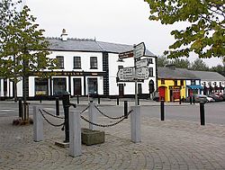 IndicatedFairy fort / earthen ringfort · 446 yd
 Enclosure in RahoonbeakEnclosure · 636 yd
 Colbinstown Castle (in Ruins)Castle, unclassified · 691 yd
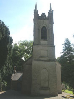 Church of the Ascension (Ballynure)church/chapel · 1654 yd
 Spratstown Fox CovertWood · 1.1 mi
 Grangecon Castle (in ruins)Castle, tower house · 1.5 mi
 Site of Fair GreenForest · 1.7 mi
 Memorial to 1798 rebellionMonument · 3.2 mi
 Ballyhook HillMountain / peak · 3.8 mi
 Battle of Kilrushbattle · 4.8 mi
 Tinoran HillMountain / peak · 4.9 mi