What is recorded here
Shown on the 1st ed. (1839) of the OS 6-inch map as a large circular enclosure (est. max diam. c. 70m), and described some years later by Fitzgerald (1899-1902(f), 150-1) as, ‘a rath of large proportions', with the further comment, ‘This rath-crowned eskar (sic) is at the present time being demolished by road contractors for the sake of its material.' By the time of the latest ed. (1910) of the OS 6-inch map, only the E half of the monument is shown (and named ‘Rathowenbeg’) with a quarry to the W. In 1972, a large sand and gravel quarry occupied the site (SMR file). The area was subsequently reclaimed and is now in level tillage.
Shown on the 1st ed. (1839) of the OS 6-inch map as a large circular enclosure (est. max diam. c. 70m), and described some years later by Fitzgerald (1899-1902(f), 150-1) as, ‘a rath of large proportions', with the further comment, ‘This rath-crowned eskar (sic) is at the present time being demolished by road contractors for the sake of its material.' By the time of the latest ed. (1910) of the OS 6-inch map,…
From the National Monuments Service (Archaeological Survey of Ireland) record KD032-043
The monument record does not grant public access. Check the route and ask the landowner before entering private land.
- What survives
- Recorded monument
Places near here
Photo credits
- National Inventory of Architectural Heritage
- Didier Descouens, Wikimedia Commons · CC BY-SA 4.0
- dougf, Geograph · CC BY-SA 2.0
- Mega Phil, Wikimedia Commons · CC BY-SA 4.0
- Sciadopitys from UK, Wikimedia Commons · CC BY-SA 2.0
- Andreas F. Borchert, Wikimedia Commons · CC BY-SA 4.0
- Credit not shown, Wikimedia Commons · Creative Commons Attribution-ShareAlike 4.0
- John Michael Wright, Wikimedia Commons · Public domain
- Sarah777, Geograph · CC BY-SA 2.0
- Alex Passmore, Wikimedia Commons · CC BY-SA 2.0
- Jonathan Billinger, Wikimedia Commons · CC BY-SA 2.0
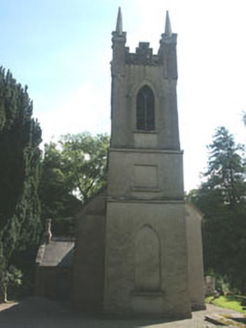 Church of the Ascension (Ballynure)Church/chapel · 1.2 mi
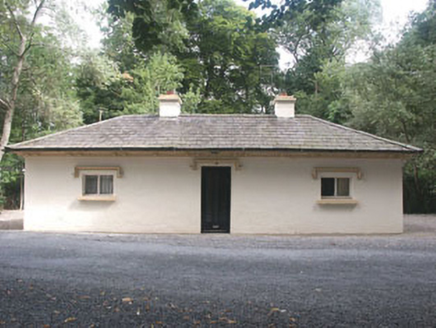 Rathsallagh HouseGate lodge · 1.3 mi
 Hawthorn2.0 mi
 Blackhall CastleCastle, tower house · 2.9 mi
 Standing stone (present location) in MullamastStanding stone (present location) · 3.9 mi
 European Larch4.1 mi
 Stone CrossCross, High cross · 4.4 mi
 IndicatedCastle, motte · 4.6 mi
 Battle of KilrushBattle · 4.6 mi
 Tinoran HillMountain / peak · 5.1 mi
 History of Moat of ArdscullVisitor information · 6.3 mi
 SugarloafMountain / peak · 8.7 mi
More archaeology and monuments in County Kildare · All of County Kildare
What do you know about this place?