
What is recorded here
On the E side of a road, on a low ridge in tillage, to where it was moved from a previous location (KD036-017001-) some 10m to the E. A slightly tapering pillar of granite (H. 1.8m) with a sub-rectangular cross section, Three grooves (probably natural) descend from the top.
From the National Monuments Service (Archaeological Survey of Ireland) record KD036-017
The monument record does not grant public access. Check the route and ask the landowner before entering private land.
- What survives
- Recorded monument
Places near here
Photo credits
- National Inventory of Architectural Heritage
- Gerd Eichmann, Wikimedia Commons · CC BY-SA 4.0
- Andreas F. Borchert, Wikimedia Commons · CC BY-SA 4.0
- Sciadopitys from UK, Wikimedia Commons · CC BY-SA 2.0
- Alex Passmore, Wikimedia Commons · CC BY-SA 2.0
- Malene Thyssen, Wikimedia Commons · CC BY-SA 3.0
- John Michael Wright, Wikimedia Commons · Public domain
- dougf, Geograph · CC BY-SA 2.0
- Jonathan Billinger, Wikimedia Commons · CC BY-SA 2.0
- Colin Park, Geograph · CC BY-SA 2.0
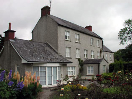 Mullamast HouseFarm house · 689 yd
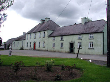 BoakefieldFarm house · 1454 yd
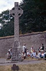 CrossCross, High cross · 2.1 mi
 Stone CrossCross, High cross · 2.1 mi
 European Larch2.5 mi
 History of Moat of ArdscullVisitor information · 3.0 mi
 European Beech3.0 mi
 Ardscull MoatCastle, motte · 3.0 mi
 Battle of KilrushBattle · 3.9 mi
 Blackhall CastleCastle, tower house · 4.3 mi
 SugarloafMountain / peak · 12 mi
 LobawnMountain / peak · 13 mi
More archaeology and monuments in County Kildare · All of County Kildare
What do you know about this place?