
What is recorded here
One field in Ballyshannon still holds the shape of a castle that stopped being a castle. The mound rises twenty metres across, shallow enough to walk but steep enough to remember that it was made for watching. A church may have stood nearby, and a castle not far below, but the hill itself is the oldest witness left. It does not need a name on a stone when the land has kept its shape.
At the top of a long gentle, S-facing pasture slope. A possible medieval church site (KD028-058002-) stands in a graveyard (KD028-058004-) c. 50m to the W, and the levelled Ballyshannon Castle (KD032-003002-) stood c. 80m to the SSW. Depicted on an 1853 sketch of an original ‘Plan of the Castle of Ballyshannon, with its Outworks, in 1650’, as a steep-sided, conical mound, with a possible bank enclosing the summit, on which a large tree is shown; and annotated, 'The high mount fortified which wee stormed' (Fitzgerald 1899-1902, 447). The plan shows an outwork skirting the base of the motte along the N, with a second outwork further N. A low denuded, grass-covered and partially tree-clad, oval, earthen mound (base diams. 30m E-W; 20m N-S; H 2m at S-3.5-4m at E, including natural slope).
Compiled by: Gearóid Conroy
Date of upload: 21 May 2013
Ballyshannon Castle, associated with the Ballyshannon Demesne, was likely built in the late medieval period, possibly by the O'Donnell clan of the northern Uí Néill, who held significant power in the region during the 15th and 16th centuries. The castle is remembered as part of the broader historical landscape of west Ulster, reflecting the political and territorial dynamics of Gaelic Ireland before English plantation.
The monument record does not grant public access. Check the route and ask the landowner before entering private land.
- What survives
- Recorded monument
Places near here
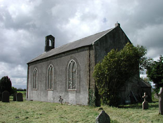 Saint James's Church (Ballyshannon)church/chapel · 87 yd
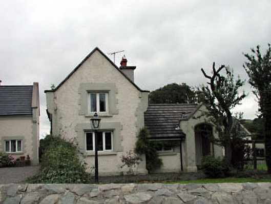 Calverstown Cottagehouse · 1.1 mi
 Enclosure in CalverstownEnclosure · 1.6 mi
 Castle in RuinsCastle, tower house · 1.6 mi
 Blackhall CastleCastle, tower house · 1.7 mi
 Kilrush RathEnclosure · 2.0 mi
 Battle of Kilrushbattle · 2.3 mi
 HawthornHawthorn · 2.8 mi
 Narraghmore Nature ReserveForest · 3.0 mi
 Japanese GardensHeritage attraction · 5.1 mi
 Irish National Stud and Japanese GardensHeritage attraction · 5.1 mi
 Gorden Bennet Race memorialMemorial · 5.7 mi
Other information
Photo: Credit not shown · Creative Commons Attribution-ShareAlike 4.0