
What is recorded here
In tillage. Visible on a 2005 OSi Orthophoto (pers. comm. Dr. Charles Mount, 29-05-2008). Visible as the soil mark of a roughly circular area (est. diam. c. 20m) together with the cropmark of an enclosing fosse (est. ext. diam. c. 60m), with faint traces of a second, outer fosse NE-ESE.
Compiled by: Gearóid Conroy
Date of upload: 12 November 2013
The monument record does not grant public access. Check the route and ask the landowner before entering private land.
- What survives
- Recorded monument
Places near here
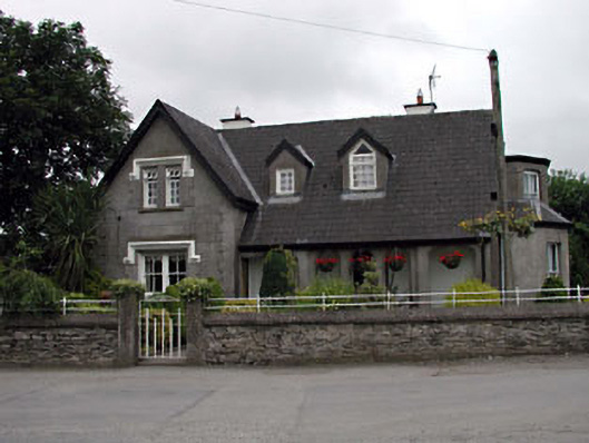 Grove Villahouse · 860 yd
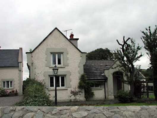 Calverstown Cottagehouse · 919 yd
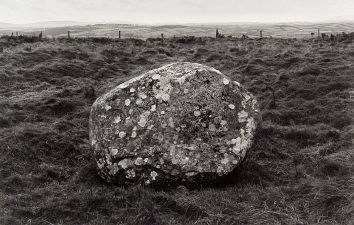 Enclosure in KilgowanEnclosure · 1305 yd
 RaheensEnclosure · 1542 yd
 CastleCastle, unclassified · 1.0 mi
 Castle in RuinsCastle, tower house · 1.2 mi
 HawthornHawthorn · 1.9 mi
 Narraghmore Nature ReserveForest · 2.9 mi
 Battle of Kilrushbattle · 3.5 mi
 1798 memorial stoneMonument · 3.7 mi
 Memorial to 1798 rebellionMonument · 4.1 mi
 Japanese GardensHeritage attraction · 6.3 mi
Other information
Photo: Credit not shown in the picture search · Rights wording not checked; contact us if this picture should be removed