What is recorded here
Cemetery in County Kildare is a sub-rectangular graveyard on a moderate north-facing slope, marked by legible gravemarkers from the 19th and 20th centuries. Its southern edge touches Rath Nua, a banked area that may have contained a church, while its northern part became enclosed between the 1838 and 1939 map editions. The place holds ordinary death and local memory, with stones clustered toward the east and a boundary wall still standing against the sky.
A large unenclosed, sub-rectangular graveyard (KD028-052002-) is depicted by a broken line (c. 70m NNW-SSE; c. 50m ENE-SSW) on the 1st ed. (1838) of the OS 6-inch map. The N portion is shown to have been enclosed on the current ed. (1939-40) of the map, which also shows the S portion partially enclosed by a bank and named ‘Rath Nua’ (KD028-052001-), which may have contained a church (KD028-052003-). On a moderate N-facing slope. The sub-rectangular graveyard (c. 40m ENE -WSW; c. 26m NNW-SSE) is enclosed by a mortared stone wall. Legible gravemarkers date to the 19th and 20th-century, with most concentrated in the E-half of the graveyard.
Compiled by: Gearóid Conroy
Date of upload: 22 February 2013
The monument record does not grant public access. Check the route and ask the landowner before entering private land.
- What survives
- Recorded monument
Places near here
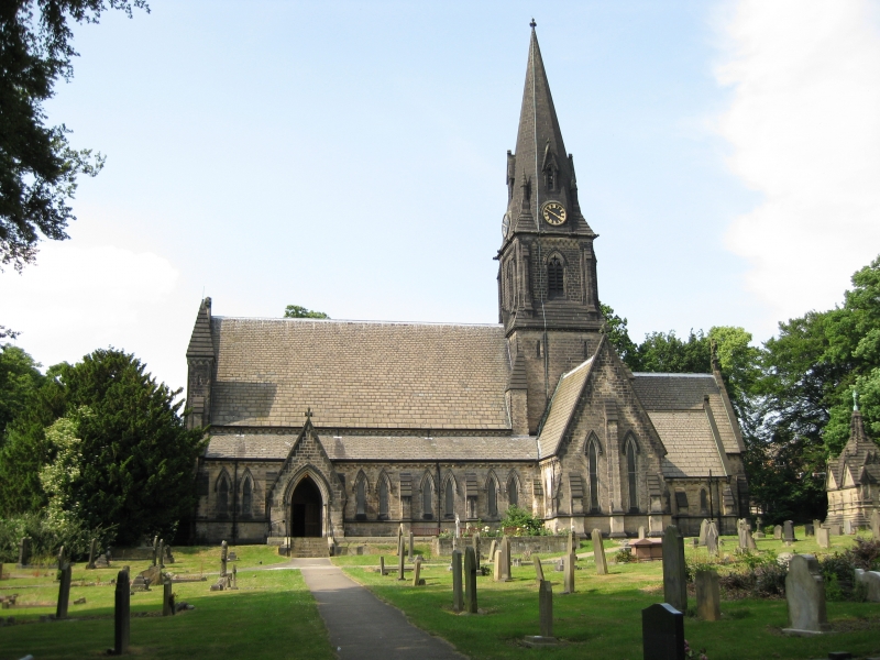 Church in Moortown (ballysax East Ed)Church · 21 yd
 Castle in RuinsCastle, tower house · 729 yd
 indicatedFairy fort / earthen ringfort · 1165 yd
 Enclosure in Moortown (ballysax East Ed)Enclosure · 1268 yd
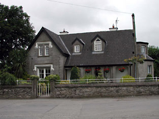 Grove Villahouse · 1.2 mi
 CastleCastle, unclassified · 1.7 mi
 ElderElder · 2.5 mi
 Coillte ForestForest · 2.8 mi
 1798 memorial stoneMonument · 2.9 mi
 Battle of Kilrushbattle · 4.0 mi
 Memorial to 1798 rebellionMonument · 4.7 mi
 Japanese GardensHeritage attraction · 5.7 mi