What is recorded here
From the National Monuments Service (Archaeological Survey of Ireland) record KD032-087
Places near here
Photo credits
- Maker not stated on source page, fi.pinterest.com
- Maker not stated on source page, www.pinterest.com
- Maker not stated on source page, synergychemical.in
- Maker not stated on source page, www.tracesofwar.com
- Maker not stated on source page, au.pinterest.com
- Maker not stated on source page, commons.wikimedia.org
- Maker not stated on source page, tuscanfoundry.com
- National Inventory of Architectural Heritage
- Maker not stated on source page, www.flickr.com
- Maker not stated on source page, ru.pinterest.com
 Pillar stone in ColbinstownPillar stone · 602 yd
Explorer Tom Pillar stone in Colbinstown hides a treasure that is definitely just an old biscuit tin wrapped in moss. It has a…
 Ogham stone603 yd
Explorer Tom Ogham stone in Colbinstown is playing linguistic games because it’s supposedly bilingual but the Latin doesn't actually…
 Ogham stone in ColbinstownOgham stone · 603 yd
Explorer Tom Ogham stone in Colbinstown is a chisel-cut grump with a missing beginning and end, standing there looking like it has…
 Killeencormack GraveyardBurial ground · 624 yd
Explorer Tom Killeencormack Graveyard is surrounded by a modern wall because it needed some boundaries. Imagine a zombie attack: the…
 CastleCastle, unclassified · 718 yd
Explorer Tom Castle at Colbinstown would write 'likes long walks and short answers' on its dating profile. It’s basically a grassy…
 Earthwork in ColbinstownEarthwork · 730 yd
Explorer Tom Earthwork in Colbinstown is a square-shaped lump that used to be a castle but now just looks like a very confused…
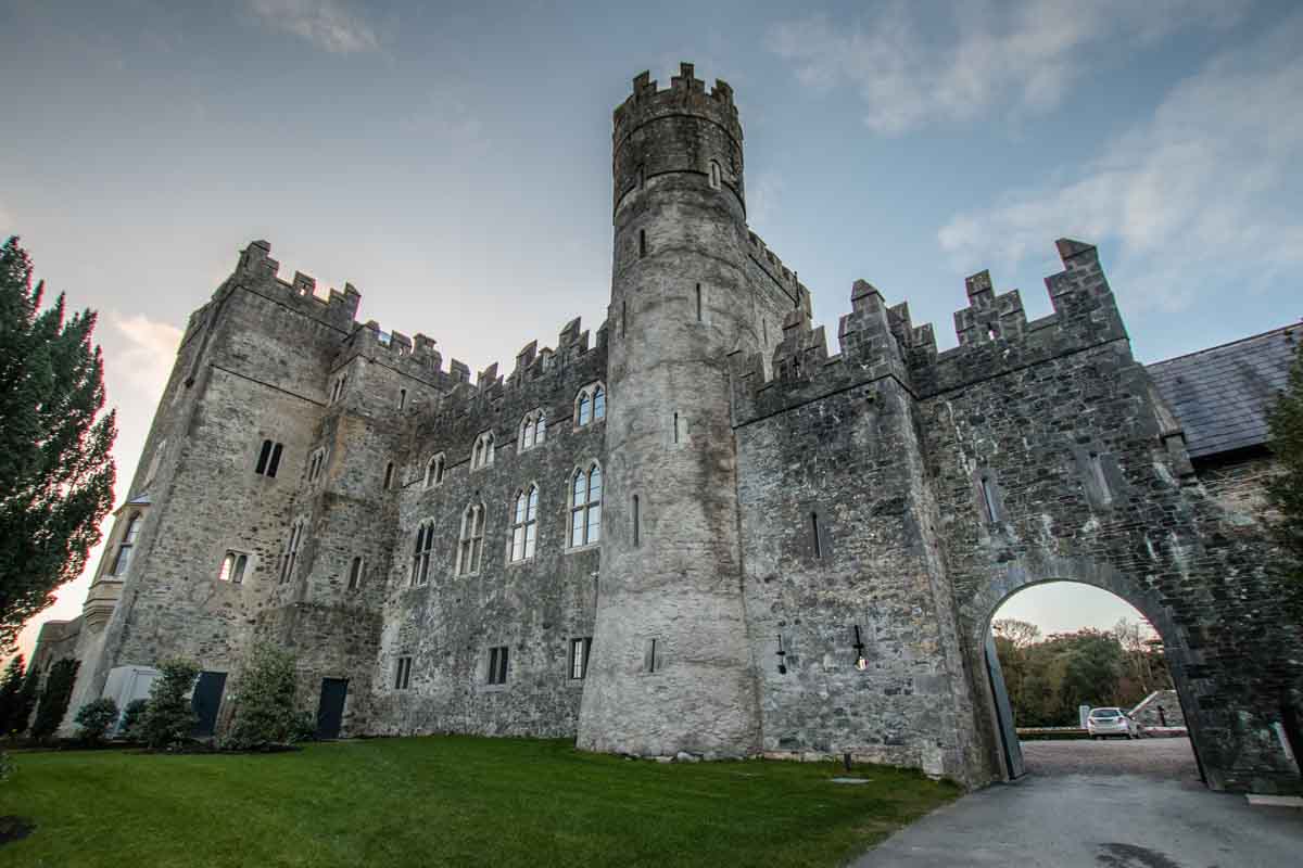 Blackrath CastleCastle, unclassified · 1.1 mi
Explorer Tom Blackrath Castle was refused entry by a bishop who thought it was too small for his ego. It’s been leased out to…
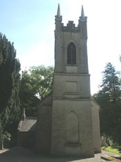 Church of the Ascension (Ballynure)Church/chapel · 1.3 mi
Explorer Tom Church of the Ascension (Ballynure) was supposedly invented by a local farmer who got drunk on one bad harvest. It’s an…
 Church in BallynureChurch · 1.3 mi
Explorer Tom Church in Ballynure thinks Dublin tourists are just noisy pigeons who haven’t learned how to stand still for more than…
 Fairy fort / earthen ringfort in Grangecon RocksFairy fort / earthen ringfort · 1.6 mi
Explorer Tom Fairy fort / earthen ringfort in Grangecon Rocks is proud of its bank because it managed to survive the undulating…
 Mapped graveyardGraveyard · 1.9 mi
Explorer Tom The mother-in-law who designed this mapped graveyard in Kildare made sure every single path was slightly too narrow for…
 post box1.9 mi
Explorer Tom Post box in Crookstown Upper would introduce itself as 'the iron gentleman with opinions' if it had a voice and a…
More archaeology and monuments in County Kildare · All of County Kildare

What do you know about this place?Tap to add a comment or ask a question