
What is recorded here
Mid way along a short gentle SW-facing pasture slope. A fairly poorly preserved, heavily poached, circular area (int. diams. 221.m E-W; 21.7m N-S) is defined by a very broad but denuded earthen bank (Wth 8-10m; int. H 0.6-1.1m; ext H over base of outer fosse 1.2m at W-2.3m at N), a fosse (base Wth 2.8m at W-4.2m at E), SE-W-N-E, and by a second, outer bank (Wth 3.2m at S-5.7m at N; ext H 0.3m), SE-W-N-ENE. A gap (Wth 3m) in the inner bank at ENE is probably the original entrance, but there is no visible trace of a corresponding causeway in the heavily poached fosse outside. The interior is covered in strong nettle and thistle growth.
Compiled by: Gearóid Conroy
Date of upload: 29 October 2013
A local fairy fort (ringfort/rath); wider significance not recorded.
This remains an important historical record, but the official description says the monument is no longer visible or has been destroyed. The monument record does not grant public access. Check the route and ask the landowner before entering private land.
- What survives
- No visible remains or recorded as destroyed
Places near here
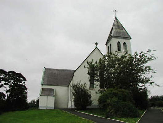 Saint Joseph's Catholic Churchchurch/chapel · 586 yd
 Enclosure in BallymountEnclosure · 696 yd
 Church (in Ruins)Church · 707 yd
 Narraghmore Nature ReserveForest · 1083 yd
 HawthornHawthorn · 1241 yd
 RathglassEnclosure · 1518 yd
 Castle (in Ruins)House, fortified house · 1.5 mi
 Colbinstown Castle (in Ruins)Castle, unclassified · 1.6 mi
 Memorial to 1798 rebellionMonument · 3.3 mi
 Battle of Kilrushbattle · 3.6 mi
 Burtown House and GardensHeritage attraction · 5.3 mi
 Ballyhook HillMountain / peak · 5.3 mi
Other information
Photo: Credit not shown in the picture search · Rights wording not checked; contact us if this picture should be removed