What is recorded here
On a very gentle S-facing pasture slope. One of three closely associated raths (along with KD032-034---- to the NNE and KD032-036---- to the SSW) recorded on the 1st ed. (1839) of the OS 6-inch map, where it is shown as a large circular area enclosed by a bank (est. max. diam. c. 60m). Described in 1972 as a roughly circular area (int. diam. 37m) enclosed by a low earthen bank (SMR file). The monument has since been reduced to a slightly raised circular area (int. diam. 30m) defined by a low scarp (H 0.2-0.3m).
From the National Monuments Service (Archaeological Survey of Ireland) record KD032-035
Places near here
Photo credits
- National Inventory of Architectural Heritage
- Didier Descouens, Wikimedia Commons · CC BY-SA 4.0
- dougf, Geograph · CC BY-SA 2.0
- John Michael Wright, Wikimedia Commons · Public domain
- Mega Phil, Wikimedia Commons · CC BY-SA 4.0
- Sciadopitys from UK, Wikimedia Commons · CC BY-SA 2.0
- Andreas F. Borchert, Wikimedia Commons · CC BY-SA 4.0
- Alex Passmore, Wikimedia Commons · CC BY-SA 2.0
- Jonathan Billinger, Wikimedia Commons · CC BY-SA 2.0
- Colin Park, Geograph · CC BY-SA 2.0
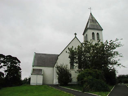 Saint Joseph's Catholic ChurchChurch/chapel · 1.1 mi
 surgery/clinic1.4 mi
 Hawthorn1.6 mi
 Blackhall CastleCastle, tower house · 1.7 mi
 Battle of KilrushBattle · 3.1 mi
 Standing stone (present location) in MullamastStanding stone (present location) · 3.2 mi
 European Larch4.4 mi
 Stone CrossCross, High cross · 4.4 mi
 Ardscull MoatCastle, motte · 5.0 mi
 History of Moat of ArdscullVisitor information · 5.0 mi
 SugarloafMountain / peak · 10 mi
 LobawnMountain / peak · 11 mi
More archaeology and monuments in County Kildare · All of County Kildare

What do you know about this place?Tap to add a comment or ask a question