What is recorded here
On wet ground at the W foot of a pasture spur, from which gravel was being extracted in 1993 (SMR file). Not indicated on the 1st.ed.(1838) of the OS 6-inch map. A poorly preserved, un-roofed, partially collapsed, roughly triangular, stone-lined spring (dims. L 1.2m; Wth 1.1m; D 1.2m) is known locally as 'St Peter's Well', but was apparently used as a domestic well and is not associated with any cures.
From the National Monuments Service (Archaeological Survey of Ireland) record KD009-024
The monument record does not grant public access. Check the route and ask the landowner before entering private land.
- What survives
- Recorded monument
Places near here
Photo credits
- National Inventory of Architectural Heritage
- Mike Searle, Wikimedia Commons · CC BY-SA 2.0
- buzzard525, Wikimedia Commons · CC BY 3.0
- Jamie Carroll, Wikimedia Commons · CC BY-SA 2.0
- JP, Geograph · CC BY-SA 2.0
- Andrewmc, Wikimedia Commons · CC BY 4.0
St Peters HillEnclosure · 93 yd worker's house973 yd9/11 MemorialMemorial · 1422 ydSaint Benignus's Catholic ChurchChurch/chapel · 1453 ydDonadea CastleCastle, tower house · 1751 ydHouseHouse, fortified house · 1.0 miDonadea Forest ParkVisitor information · 1.1 miThe Grill ShackHeritage attraction · 1.2 miLoughtown CovertWood · 2.6 miBallynafagh Bog Special Area of ConservationNature reserve · 3.3 miGrand Canal WayWalking route · 3.9 miBullánBullaun stone · 5.1 mi
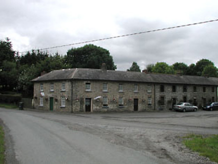 worker's house973 yd9/11 MemorialMemorial · 1422 yd
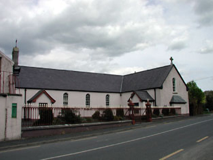 Saint Benignus's Catholic ChurchChurch/chapel · 1453 yd
_-_geograph.org.uk_-_2494096.jpg/250px-Castles_of_Leinster,_Donadea,_Kildare_(1)_-_geograph.org.uk_-_2494096.jpg "Photo: Mike Searle, Wikimedia Commons · CC BY-SA 2.0") Donadea CastleCastle, tower house · 1751 yd
Donadea CastleCastle, tower house · 1751 yd HouseHouse, fortified house · 1.0 mi
 Donadea Forest ParkVisitor information · 1.1 miThe Grill ShackHeritage attraction · 1.2 miLoughtown CovertWood · 2.6 miBallynafagh Bog Special Area of ConservationNature reserve · 3.3 mi
 Grand Canal WayWalking route · 3.9 mi
 BullánBullaun stone · 5.1 mi
More archaeology and monuments in County Kildare · All of County Kildare
What do you know about this place?