Archaeology and monuments in County Antrim
The Discover Alone map has 5,310 archaeology and monuments in County Antrim, Ireland. Below are the 60 with the most written about them, pictures first. Every one has its own page with directions and places nearby.
Open County Antrim on the map TWO ENCLOSURES (RATH AND Man-made underground passage)? in PortmuckTWO ENCLOSURES (RATH AND Man-made underground passage)?Two enclosures and a man-made underground passage still mark Portmuck, though no date or owner is certain. One circle…
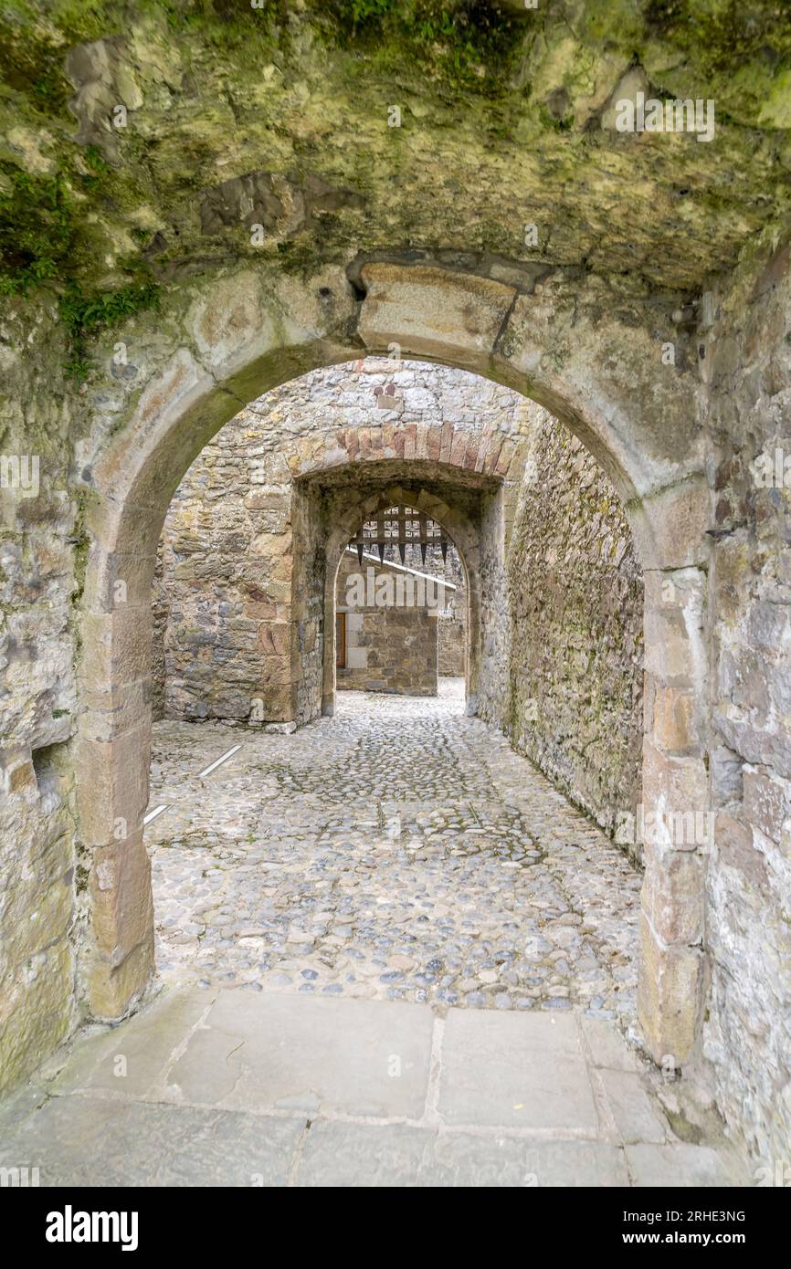 SUB-RECTANGULAR ENCLOSURE in Grange OF CarmavySUB-RECTANGULAR ENCLOSUREGrange OF Carmavy holds a sub-rectangular enclosure from the medieval or early Christian period, preserved under…
 STONE-FACED ENCLOSURE & CAIRN (O.S. memoir site; unlocated) in CraigSTONE-FACED ENCLOSURE & CAIRN (O.S. memoir site; unlocated)No visible trace remains in Craig, only a forgotten point on an old survey. That absence does not diminish the place…
 STANDING STONE: removed & built into Ballycastle pier in GortconnySTANDING STONE: removed & built into Ballycastle pierBallycastle pier holds a prehistoric standing stone from Gortconny, visible in its structure after removal. Men built…
 STANDING STONE; ENCLOSURE; HOUSE PLATFORMS: STANDING STONE in KnockansSTANDING STONE; ENCLOSURE; HOUSE PLATFORMS: STANDING STONEKnockans holds a standing stone, an enclosure and house platforms from the uncertain prehistoric period, marked as…
 SQUARE ENCLOSURE (O.S. memoir site; unlocatedSQUARE ENCLOSURE (O.S. memoir site; unlocated — prob. duplicate of ANT 22:22)The official Northern Ireland record identifies this as SQUARE ENCLOSURE (O.S. memoir site; unlocated - prob. duplicate…
 SMALL IRREGULAR ENCLOSURE & 2 CAIRNS in CarriveSMALL IRREGULAR ENCLOSURE & 2 CAIRNSCarrive holds a small irregular enclosure and two cairns, marking a prehistoric human presence in County Antrim. The…
 RECTANGULAR ENCLOSURE; SIX STRUCTURES; FIELD BOUNDARIESRECTANGULAR ENCLOSURE; SIX STRUCTURES; FIELD BOUNDARIES — possibly BOOLEYING SITEThe official Northern Ireland record identifies this as RECTANGULAR ENCLOSURE; SIX STRUCTURES; FIELD BOUNDARIES …
 RECTANGULAR ENCLOSURE: BALLYAGHAGAN FORT, LISTOLLARD in BallyaghaganRECTANGULAR ENCLOSURE: BALLYAGHAGAN FORT, LISTOLLARDBallyaghagan Fort stands as a rectangular enclosure in County Antrim, preserving a medieval shape that still challenges…
 RATH & ENCLOSURE in MullaghconnellyRATH & ENCLOSUREMullaghconnelly holds a rath and enclosure whose age remains uncertain, marking the area as a place where early…
 RATHRATH — ECCLESIASTICAL ENCLOSURE?Aghalislone holds a rath and barrow, marking one of many ancient enclosures scattered across County Antrim. These…
 PROMONTORY FORT: McART'S FORT in BallyaghaganPROMONTORY FORT: McART'S FORTMcArt's Fort in Ballyaghagan, County Antrim, is a prehistoric promontory fort where stone walls still clutch the…
 PROMONTORY FORT: LARRYBANE FORT in KnocksogheyPROMONTORY FORT: LARRYBANE FORTLarrybane Fort stands on a Knocksoghey promontory where ancient and Christian timelines collide. Its rocks may have…
 PROMONTORY FORT: DUNMALL or DUNMAUL or GARRON TOWER in Galboly LowerPROMONTORY FORT: DUNMALL or DUNMAUL or GARRON TOWERDunmall stands as a prehistoric promontory fort in Galboly Lower, its stones scheduled for protection long before…
 PROMONTORY FORT: DOON POINT in CarravindoonPROMONTORY FORT: DOON POINTDoon Point in Carravindoon, County Antrim, Ireland, is a promontory fort where the land juts into the sea. Its age…
 POSSIBLE PROMONTORY FORT in CraigmacaganPOSSIBLE PROMONTORY FORTCraigmacagan holds a possible promontory fort where stone and sea still argue. The uncertainty is not a gap but a…
 PLATFORM RATH & RECTANGULAR ENCLOSURE in Deer ParkPLATFORM RATH & RECTANGULAR ENCLOSUREDeer Park holds a platform rath and rectangular enclosure where human hands shaped the earth during the early Christian…
 Neolithic pits & Early Medieval enclosure in DrumcullenNeolithic pits & Early Medieval enclosureDrumcullen holds Neolithic pits and an Early Medieval enclosure, proving the land served human desire across thousands…
 NEOLITHIC HILLTOP CAUSEWAYED ENCLOSURE & OCCUPATION SITE: DONEGORE HILL in Freemanstown; TobergillNEOLITHIC HILLTOP CAUSEWAYED ENCLOSURE & OCCUPATION SITE: DONEGORE HILLThe official Northern Ireland record identifies this as NEOLITHIC HILLTOP CAUSEWAYED ENCLOSURE & OCCUPATION SITE…
 MULTIVALLATE PROMONTORY FORT: LURIGETHAN in Foriff; Knockans South & NorthMULTIVALLATE PROMONTORY FORT: LURIGETHANLurigethan rises in County Antrim as a multivallate promontory fort, throwing several ancient rings around the edge of…
 MULTIVALLATE PROMONTORY FORT: KNOCK DHU in Ballyhackett; Drains Bog; LinfordMULTIVALLATE PROMONTORY FORT: KNOCK DHUKnockdhu Promontory Fort in County Antrim is a multivallate earthwork where several periods of human life still press…
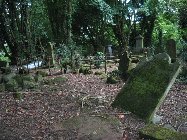 MULTIPERIOD CHURCH & GRAVEYARD with WELL: RATH SITHE, RASHEE, or RASSCI in RasheeMULTIPERIOD CHURCH & GRAVEYARD with WELL: RATH SITHE, RASHEE, or RASSCIRath Sithe in Rashee, County Antrim, has stood through early Christian and medieval times, its name shifting between…
 MOUND (possibly MOTTE): DRUMARD in DrumardMOUND (possibly MOTTE): DRUMARDDrumard mound in County Antrim is a medieval earthwork, possibly a motte, still standing where power once climbed above…
 MOTTE: DUNGALL in DungallMOTTE: DUNGALLDungall stands in County Antrim as a medieval motte, scheduled for protection and marked at the centre of its…
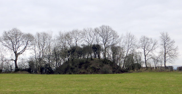 MOTTE: DUNAMOY MOAT in DunamoyMOTTE: DUNAMOY MOATDunamoy Moat stands as a medieval motte in County Antrim, its earthworks preserved under scheduled protection. The…
 MOTTE: CROSSKENNAN FORT in CrosskennanMOTTE: CROSSKENNAN FORTMotte and bailey earthworks stand in Crosskennan, County Antrim, dated to the MEDIEVAL period and protected as a…
 MODERN CHURCH on site of MEDIEVAL CHURCH: PORTCAMAN CHURCH in GlebeMODERN CHURCH on site of MEDIEVAL CHURCH: PORTCAMAN CHURCHPortcaman Church in Glebe, County Antrim, stands as a modern building on the buried footprint of a medieval church…
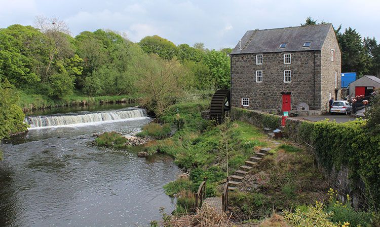 Milltown Crosskeys Historic Settlement in Mill QuarterMilltown Crosskeys Historic SettlementMilltown Crosskeys Historic Settlement occupied the Mill Quarter during the post-medieval and eighteenth centuries…
 MEGALITHIC TOMB; ENCLOSURES; STRUCTURES (O.S. memoir site; unlocated) in DrumavoleyMEGALITHIC TOMB; ENCLOSURES; STRUCTURES (O.S. memoir site; unlocated)Megalithic tombs appeared across Ireland after farming arrived in the fourth millennium B.C., yet this particular site…
 MEGALITHIC TOMB & ENCLOSURE in BallyelloughMEGALITHIC TOMB & ENCLOSUREMegalithic tomb and enclosure in Ballyellough, County Antrim: prehistoric people set large stones around a chamber and…
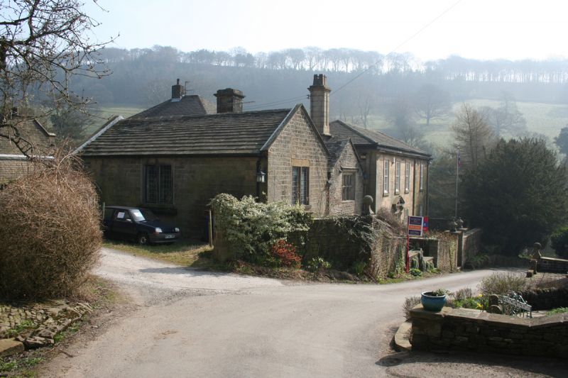 MEDIEVAL & EARLIER CHURCH SITE: CHAPEL OF THE FORD in Town ParksMEDIEVAL & EARLIER CHURCH SITE: CHAPEL OF THE FORDChapel of the Ford marks an early Christian and medieval church site in County Antrim, preserving a place where faith…
 MEDIEVAL DITCH & ENCLOSUREMEDIEVAL DITCH & ENCLOSURE — excavated as part of Gas Pipeline ProjectMidges hummed around the ditch while men dug through Antrim soil, uncovering a boundary drawn centuries before pipes…
 MEDIEVAL CHURCH; GRAVEYARD in OVAL ENCLOSURE with 2 BULLAUNS: DERBI or LALOO in BallinderryMEDIEVAL CHURCH; GRAVEYARD in OVAL ENCLOSURE with 2 BULLAUNS: DERBI or LALOOTwo black bullauns stand like sentinels beside a medieval church in Ballinderry, marking a graveyard where Derbi or…
 LiDAR site- Possible rath/ circular enclosure in BallyweeLiDAR site- Possible rath/ circular enclosureBallywee holds a possible circular enclosure, visible only when light strips the soil bare. The uncertainty is not a…
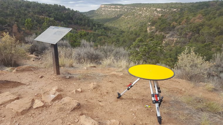 LiDAR SiteLiDAR Site — Penannular enclosure or remains of cairn?Three feet of topsoil and a century of sheep traffic erased the marker, but the laser stripped the grass away and drew…
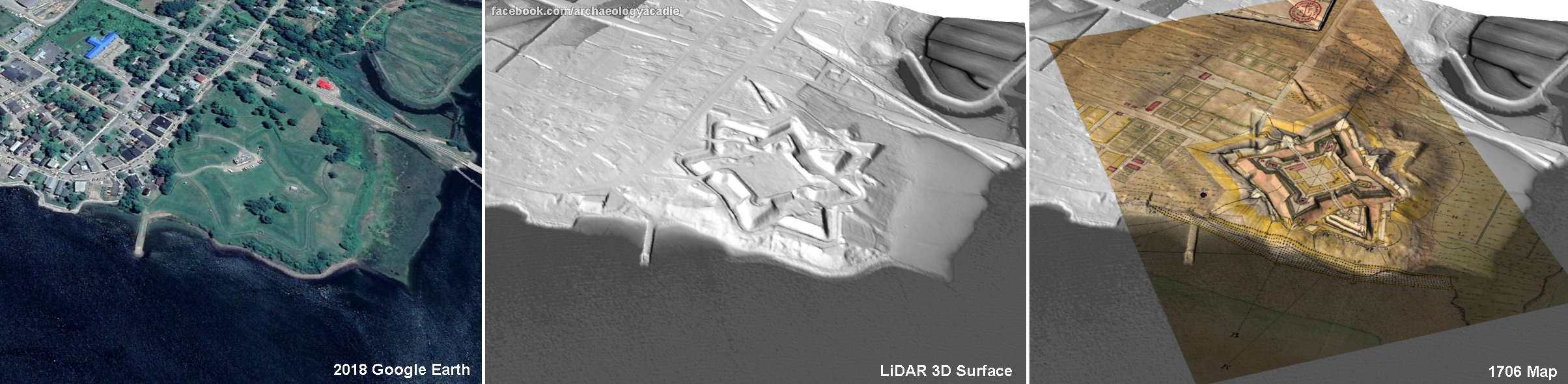 LiDAR & AP site- Double ditched enclosure (possibly Neolithic?) with possible annexe in ArtigoranLiDAR & AP site- Double ditched enclosure (possibly Neolithic?) with possible annexeThe official Northern Ireland record identifies this as LiDAR & AP site- Double ditched enclosure (possibly Neolithic?)…
 HOLY WELL in CranfieldHOLY WELLMnemo knows the way forward. There is no hidden camera, no secret owner and no permanent trap. The chamber has no roof…
 HILLFORT & ?Man-made underground passage in CarncoaghHILLFORT & ?Man-made underground passageCarncoagh holds a hillfort and an uncertain underground passage, waiting beneath the soil for someone brave enough to…
 GRAVEYARD; ENCLOSURE: KILVERAGHA OLD GRAVEYARD or KILNAVAL in CloghsGRAVEYARD; ENCLOSURE: KILVERAGHA OLD GRAVEYARD or KILNAVALKilveragha Old Graveyard stands in Cloghs, County Antrim, holding names and events that time has blurred. The stones…
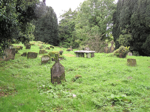 GRAVEYARD & ENCLOSURE in GlenstagheyGRAVEYARD & ENCLOSUREGlenstaghey holds a graveyard and enclosure whose age remains uncertain, leaving death and memory suspended outside…
 FORTIFICATION (O.S. memoir site, unlocated) in ClonetraceFORTIFICATION (O.S. memoir site, unlocated)Mnemo is the oldest continuous witness in the world. She is not the first human, but she is the first unbroken witness.…
 Fortification in SeacashFortificationFortification in Seacash stands in County Antrim as a post-medieval and seventeenth-century military position. It is no…
 FIELD SYSTEMS WITH HOUSES; ENCLOSURES; BOUNDARIES; URN BURIALS; Man-made underground passages (O.S. memoir site: unlocated) in GlenstaghyFIELD SYSTEMS WITH HOUSES; ENCLOSURES; BOUNDARIES; URN BURIALS; Man-made underground passages (O.S. memoir site: unlocated)Glenstaghy holds Bronze Age field systems, urn burials and hidden underground passages, though the exact passage site…
 FIELD SYSTEM; ENCLOSURES; HUTS; FIELD WALLS (BA to Medieval) in CarravindoonFIELD SYSTEM; ENCLOSURES; HUTS; FIELD WALLS (BA to Medieval)Carravindoon held Bronze Age and Medieval field walls, enclosures and huts, showing that people shaped the land…
 FIELD SYSTEM & ENCLOSURESFIELD SYSTEM & ENCLOSURES — BOOLEY SETTLEMENTMoss and grass have long since swallowed the boundaries, yet the booley settlement still marks a time when people…
 ENCLOSURES; STANDING STONES: RAVENS' HILL (O.S. memoir site; unlocated) in East TorrENCLOSURES; STANDING STONES: RAVENS' HILL (O.S. memoir site; unlocated)Stand in the dark field where forgotten huts and tall stones still touch the sky. Ravens' Hill in East Torr has no…
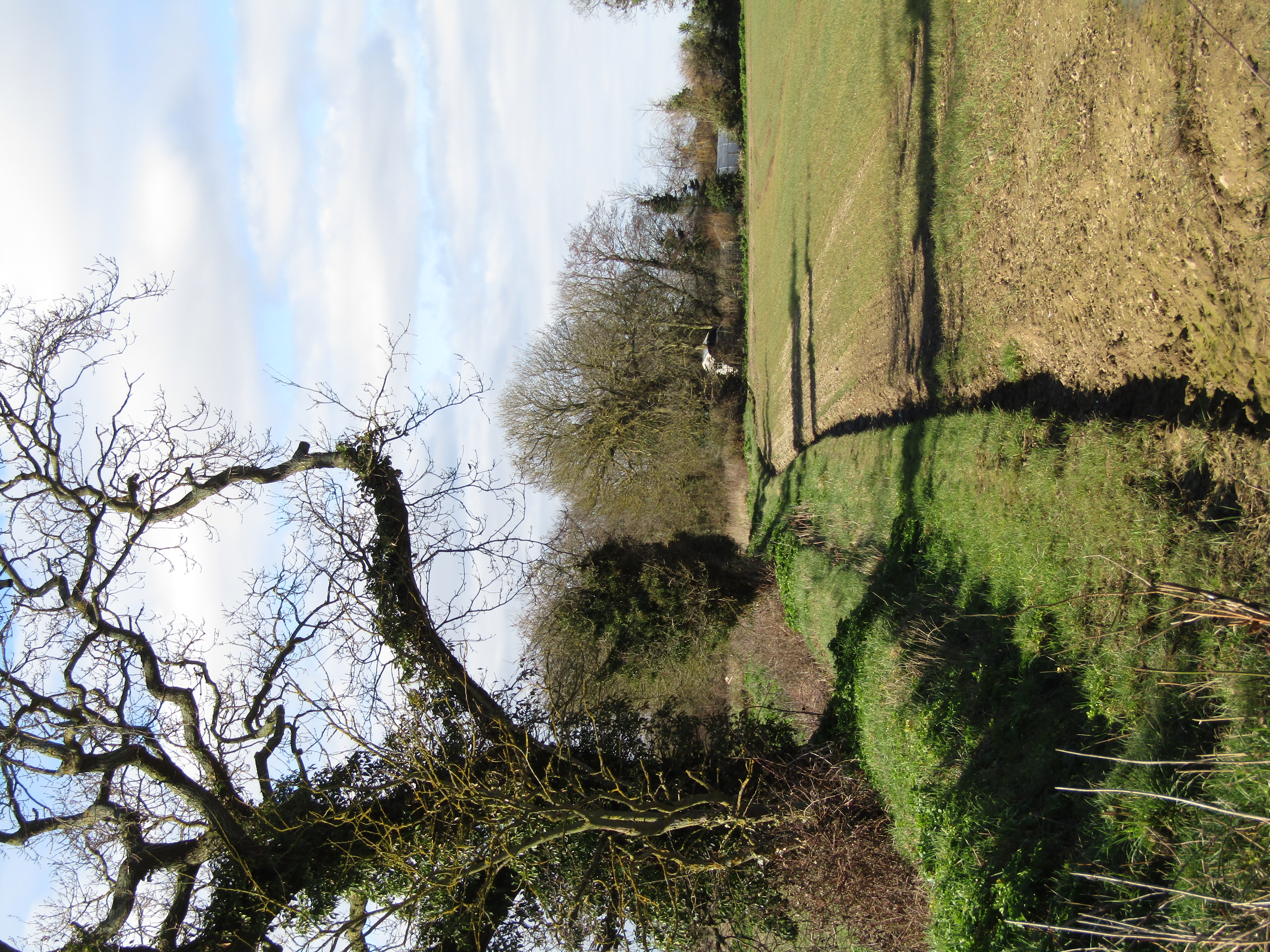 ENCLOSURE; 3 STRUCTURES & FIELD BOUNDARY in LoughconnellyENCLOSURE; 3 STRUCTURES & FIELD BOUNDARYThe official Northern Ireland record identifies this as ENCLOSURE; 3 STRUCTURES & FIELD BOUNDARY. Recorded period…
 ENCLOSURE?ENCLOSURE? — RING CAIRN?Question marks still cling to the name, but the stones may have encircled life itself. A ring cairn in County Antrim…
 ENCLOSURE: RATHMORE in DunmurryENCLOSURE: RATHMORERathmore is an ancient enclosure in Dunmurry, County Antrim, where people shaped the land before written history. Its…
 ENCLOSURE: RATH or MOATED SITE (possible) in RickamoreENCLOSURE: RATH or MOATED SITE (possible)Rickamore in County Antrim, Ireland. The evidence still evades certainty, leaving a hollow where memory should be.…
 ENCLOSURE -rath? (O.S. memoir site, unlocated) in BallybogyENCLOSURE -rath? (O.S. memoir site, unlocated)Enclosure rath in Ballybogy. Uncertain when built, uncertain where it stood, certain only that someone drew a line…
 ENCLOSUREENCLOSURE — RATH?: MOORE'S FORTMoore's Fort stands in County Antrim as an enclosure perhaps built as a rath, its age still uncertain but its shape…
 ENCLOSURE (rath?); Man-made underground passage; 7 CIRCULAR HOUSES (O.S. memoir site) in Lisbellanagroagh BegENCLOSURE (rath?); Man-made underground passage; 7 CIRCULAR HOUSES (O.S. memoir site)Seven circular houses and a man-made underground passage still mark Lisbellanagroagh Beg, though their exact age…
 ENCLOSURE (rath) & Man-made underground passage (OS memoir site; unlocated) in CarnlelisENCLOSURE (rath) & Man-made underground passage (OS memoir site; unlocated)No visible trace remains in Carnlelis, yet the hidden passage and rath enclosure likely marked a settled life during…
 ENCLOSURE (rath?) & Man-made underground passage (O.S. memoir site; unlocated) in Glassaneeran Lower (possible); Glassaneeran Upper (possible)ENCLOSURE (rath?) & Man-made underground passage (O.S. memoir site; unlocated)Under the rolling green of County Antrim, a hidden passage and enclosing mound wait for discovery. The earth may…
 ENCLOSURE (rath?) & Man-made underground passage (O.S. memoir site; unlocated) in Ballyclogh SouthENCLOSURE (rath?) & Man-made underground passage (O.S. memoir site; unlocated)Under Ballyclogh South, a hidden passage and rath-like enclosure wait beneath the grass. The official record hedges…
 ENCLOSURE (RATH?) & Man-made underground passage in ParkENCLOSURE (RATH?) & Man-made underground passageENCLOSURE (RATH?) & Man-made underground passage is an ancient human-shaped hole in County Antrim, still visible…
 ENCLOSURE (rath?) & Man-made underground passage in LisnamurrikinENCLOSURE (rath?) & Man-made underground passageEnclosure and underground passage in Lisnamurrikin, County Antrim. Whether a rath or something else, the dug way…
 ENCLOSURE (rath?) & Man-made underground passage in KilcregENCLOSURE (rath?) & Man-made underground passageKilcreg holds a man-made underground passage beside a possible rath, waiting for boots on wet stone. The enclosure may…
 ENCLOSURE (rath?) & Man-made underground passage in DrumcullenENCLOSURE (rath?) & Man-made underground passageUncertainty itself is the shape of the story. A rath may have stood above ground while people lived beside it, and a…