
What is recorded here
Knockdhu Promontory Fort in County Antrim is a multivallate earthwork where several periods of human life still press against the soil. Lidar has revealed subtle boundaries, cultivation furrows and abandoned settlements across the Antrim Uplands, while the Linford Barrows and the fort itself remain as substantial prehistoric marks. The place is less a single event than a layered landscape, where earlier hands and later lives keep returning to the same high ground.
The official Northern Ireland record identifies this as MULTIVALLATE PROMONTORY FORT: KNOCK DHU. Recorded period: IRON AGE; PREHISTORIC. Recorded protection: Scheduled. The official map point was placed at the centre of the recorded archaeological site from the source map reference.
A multivallate promontory fort at Knock Dhu in Ballyhackett, Drains Bog, Linford, is a Scheduled Ancient Monument, originally recorded as Iron Age in date, though its multiple ditches and banks suggest continued use into the early medieval period. Local tradition associates such sites with fairy lore, and Knock Dhu may have been considered a threshold between the mortal and supernatural worlds.
The monument record does not grant public access. Check the route and ask the landowner before entering private land.
- What survives
- Recorded monument
Places near here
 RECTANGULAR STONE ENCLOSURE & HOUSE SITES in Drains BogRECTANGULAR STONE ENCLOSURE & HOUSE SITES · 439 yd
 A.P. SITEA.P. SITE, rectangular enclosure · 502 yd
 BallycoosMountain / peak · 1.1 mi
 Scawt HillMountain / peak · 1.5 mi
 Ballygally CastleHeritage attraction · 2.0 mi
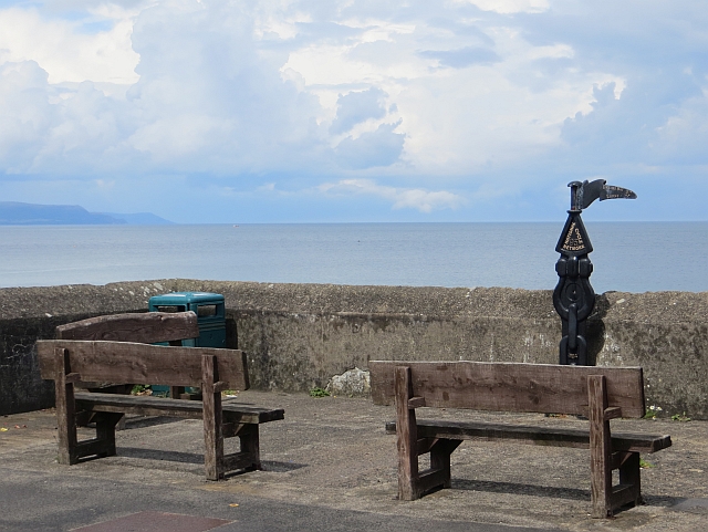 Millennium MilepostVisitor information · 2.1 mi
 Garden TrailWalking route · 2.5 mi
 CairncastleRuins · 2.6 mi
 Ballygalley HeadCliff · 2.7 mi
 Hillmount HouseCastle · 3.0 mi
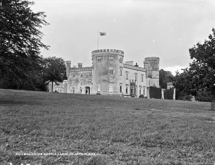 TOWER-HOUSE & BAWN: KILWAUGHTER CASTLE in DemesneTOWER-HOUSE & BAWN: KILWAUGHTER CASTLE · 3.3 mi
 Blackcave TunnelTunnel · 3.6 mi
Other information
Photo: Credit not shown in the picture search · Rights wording not checked; contact us if this picture should be removed