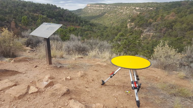
What is recorded here
Three feet of topsoil and a century of sheep traffic erased the marker, but the laser stripped the grass away and drew a broken ring on the Antrim hill. Whether people built a gateless enclosure or stacked stones into a cairn that time collapsed, the laser showed a deliberate shape rather than a random scar. The uncertainty is not a failure of measurement; it is a reminder that the ground kept more than human memory did.
The official Northern Ireland record identifies this as LiDAR Site - Penannular enclosure or remains of cairn?. Recorded period: UNCERTAIN. The official map point was placed at the centre of the recorded archaeological site from the source map reference.
The monument record does not grant public access. Check the route and ask the landowner before entering private land.
- What survives
- Recorded monument
Places near here
 A.P. SITEA.P. SITE, enclosure · 319 yd
 Circular/penannular enclosure (possible) and remnants of field boundary (possible) in BallynacairdCircular/penannular enclosure (possible) and remnants of field boundary (possible) · 549 yd
 SlemishMountain / peak · 1518 yd
 The Thatch InnPublic House · 5.1 mi
 Big CollinMountain / peak · 5.7 mi
 Craigy HillMountain / peak · 5.8 mi
 CASTLE in CrebillyCASTLE · 6.0 mi
 Glenarm ForestForest · 6.2 mi
 Ballyboley ForestForest · 6.5 mi
 FORTIFIED HOUSE: CASTLE HILL in DunamoyFORTIFIED HOUSE: CASTLE HILL · 7.6 mi
 Presbyterian ChurchChurch · 7.8 mi
 2025 Northern Ireland riotsriot · 8.2 mi
Other information
Photo: Credit not shown in the picture search · Rights wording not checked; contact us if this picture should be removed