
What is recorded here
McArt's Fort in Ballyaghagan, County Antrim, is a prehistoric promontory fort where stone walls still clutch the coastal edge. It is a scheduled ancient place, not a new invention, and the land itself remembers the shape of human hands. The sea may have taken rooms, roads or lives, but the fort remains a visible marker that people once lived boldly beside the water.
The official Northern Ireland record identifies this as PROMONTORY FORT: McART'S FORT. Recorded period: PREHISTORIC. Recorded protection: Scheduled. The official map point was placed at the centre of the recorded archaeological site from the source map reference.
The monument record does not grant public access. Check the route and ask the landowner before entering private land.
- What survives
- Recorded monument
Places near here
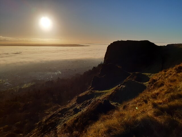 McArt's FortMountain / peak · 27 yd
 KIDNEY-SHAPED ENCLOSURE in BallyaghaganKIDNEY-SHAPED ENCLOSURE · 33 yd
 CavehillMountain / peak · 219 yd
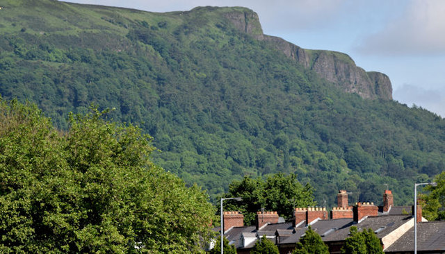 Cave HillCliff · 284 yd
 Cave Hill CaveCave · 356 yd
 Belfast Castle Estate TrailWalking route · 622 yd
 Belfast CastleHeritage attraction · 673 yd
 Cave Hill TrailWalking route · 673 yd
 Limestone QuarryCliff · 1063 yd
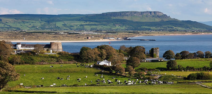 ENCLOSURE in GreencastleENCLOSURE · 1295 yd
 Bellevue Area of Special Scientific InterestCliff · 1467 yd
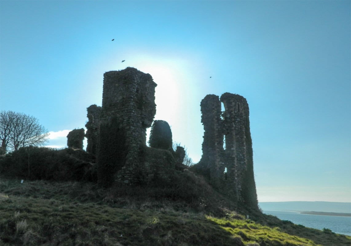 TOWER-HOUSE: GREENCASTLE, GREENCASTLE, CLOUGHCASTELLA, CLOUGHCASTELLA, CLOCHMESTALE in GreencastleTOWER-HOUSE: GREENCASTLE, GREENCASTLE, CLOUGHCASTELLA, CLOUGHCASTELLA, CLOCHMESTALE · 1.0 mi
Other information
Photo: Credit not shown in the picture search · Rights wording not checked; contact us if this picture should be removed