Archaeology and monuments in County Monaghan
The Discover Alone map has 1,575 archaeology and monuments in County Monaghan, Ireland. Below are the 60 with the most written about them, pictures first. Every one has its own page with directions and places nearby.
Open County Monaghan on the map White FortFairy fort / earthen ringfortWhite Rath hides a vanished circular fort on a Monaghan ridge, visible only through memory and a rare 1834 map. The…
 Wedge tomb in LisnadarraghWedge tombNo giant is named, yet children once drew the forgotten giant because the narrow gallery still points southwest like a…
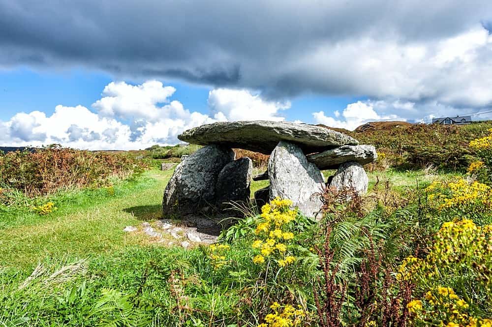 Wedge tomb in Greagh (monaghan By., Drumsnat Par.)Wedge tombThat is the chamber now: one edge, two ghosts, a roof lost to soil. People may have stood at the west gap, looked east…
 Trein Mors GraveMegalithic tombTrein Mors Grave marks the last resting place of Trein Mor, grandfather of Fionn Mac Cumhaill, on a broad Monaghan…
 Town defences in Roosky (monaghan By., Monaghan Par.)Town defencesRoosky defences formed a large rectangular perimeter around Monaghan town, probably c. 500m east-west and 400m…
 ToberreendowneyHoly wellToberreendowney, the little well of the church, sleeps on a drumlin slope beside the Fane River in County Monaghan. It…
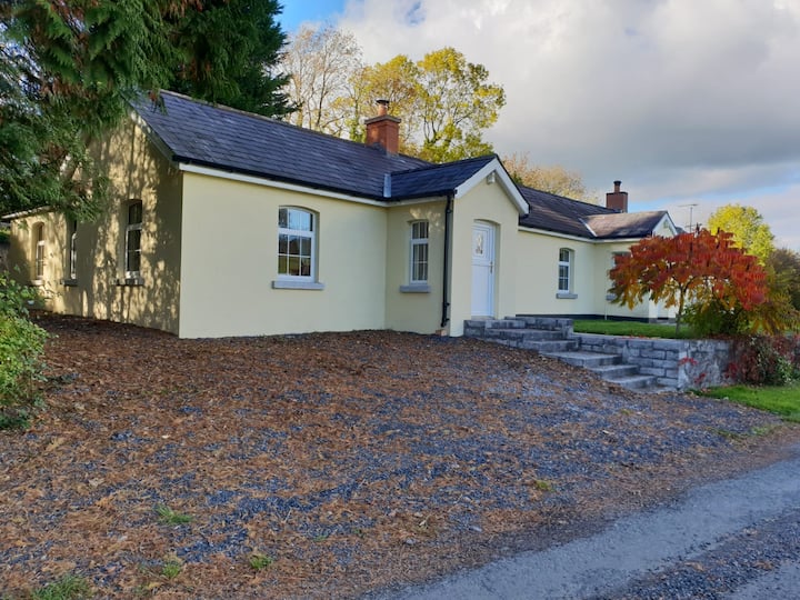 Tober LasairHoly wellTober Lasair is a quiet holy well in County Monaghan where pilgrims still crawled on first Sundays of May and August in…
 Tober InverHoly wellTober Inver was a holy well beside a small Monaghan stream, likely named for Finnian of Movila rather than Fionnbharr…
 Tiravray fortFairy fort / earthen ringfortTiravray fort is a subcircular earthen ring on a Monaghan drumlin ridge, marked on McCrea’s 1793 map and still visible…
The IslandCrannogThe Island is a small crannog in County Monaghan, Ireland, lying in a narrow valley beside a bending stream. It is a…
 The CashellCourt tombThe Cashell is a court tomb in County Monaghan where a broad trapezoidal cairn still holds a deep northern court and a…
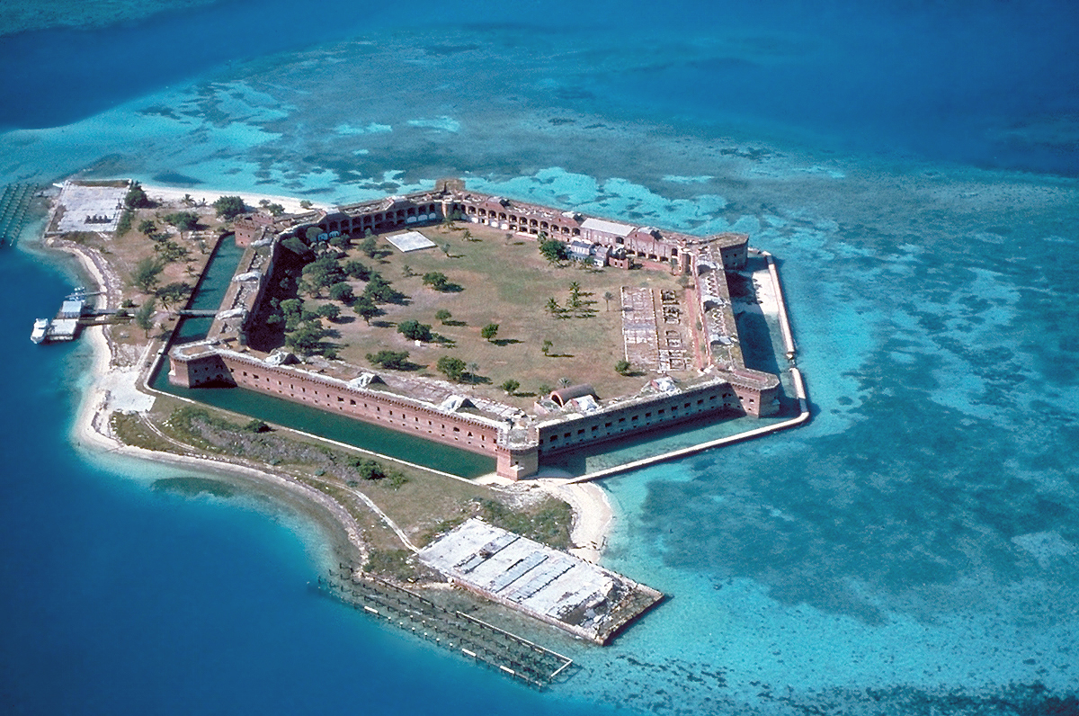 Stranoodan fortFairy fort / earthen ringfortStranoodan is a circular earthen fort on a Monaghan ridge, its broad bank and narrow entrance still shaping the land…
 Stone CircleKiln — limeStone Circle is a lime kiln buried on a south-east facing slope in County Monaghan, Ireland. Its overgrown pit measures…
 Standing stone in ScarvyStanding stoneScarvy holds a rectangular stone nearly two metres tall, pointing its top toward the sky in a flat landscape bracketed…
 Shrine in CrossmoyleShrineThat is the smallest church building still standing in Ireland. A man carved a wooden chapel into solid sandstone for…
 Shanes fortFairy fort / earthen ringfortShane’s fort is a circular earthen ring on a north-facing slope in County Monaghan, marked only on the 1907 map and now…
 Radeerpark fortFairy fort / earthen ringfortHalf-hidden in grass on the edge of a broad plateau, Radeerpark fort keeps its shape despite centuries of neglect. A…
 Promontory fortPromontory fort — inlandBlack Fort stood on the northern edge of a Monaghan plateau, its straight side facing the NE and its curved body…
 Portal tomb in LennanPortal tombThree stones stood at the SW angle of a Monaghan field, their crude chamber built into a living bank rather than buried…
 Portal tomb in CorleanamaddyPortal tombCorleanamaddy held a long stone chamber where human bones may have waited for centuries before the grass took them…
 Old fortFairy fort / earthen ringfortOld fort is a circular grass ring on a Monaghan slope, marked on maps since 1834 and still holding its shape through…
 Not inidicatedMan-made underground passageNot inidicated is a hidden underground passage beside the rath in County Monaghan. Local memory claims a stone lintel…
 Not inidcatedHut siteNot inidcated is a nameless hut inside a rath on a Monaghan drumlin, marked only by a low earth and stone bank seven…
 Not inidcatedFulacht fiaSituated in a relatively low-lying position in an undulating landscape with drumlins. Archaeological testing (12E0068)…
 Not indicatdCross — High crossNot indicatd, a small sandstone cross fragment from County Monaghan, Ireland, was found in a drain across a children’s…
 Not indicaetdMan-made underground passageLocated on the NW-facing slope of a slight E-SW ridge in a low-lying landscape. There are local reports of a hollow…
 Not indicaetdMan-made underground passageNot indicated occupies County Monaghan as a narrow drystone passage beside an old rath. It enters from the south…
 Not indicaetdCrannogNot indicaetd is a crannog in County Monaghan, Ireland, where a small island once stood close to the north-west shore…
 Not iindicatedHut siteNot iindicated remains a subcircular rise inside a larger rath, preserving the ghost of a small dwelling rather than a…
 Not idicatedFairy fort / earthen ringfortNot idicated is a fairy fort in County Monaghan, Ireland. It is a circular grass-covered area on a low spur, shaped by…
 MullavashPassage tombMullavash is a circular passage tomb on the ridge of Mullyash Mountain in County Monaghan, where a sixteen-metre cairn…
 Mullaghanee fortFairy fort / earthen ringfortMullaghanee fort stands on a drumlin ridge in County Monaghan, a grassy ring with an earthen bank and outer drain that…
 Mound in Clonkeen (cole)MoundMound in Clonkeen (cole) is a low grass oval at the south end of Ramages Lough, wider at both ends and no taller than a…
 Morgans fortFairy fort / earthen ringfortMorgans fort is a circular earthen ring in County Monaghan, Ireland, marked by a broken bank and a hidden underground…
 MinnavarmoreCourt tombMinnavarmore is a court tomb on a Monaghan rise where folk tradition claims the Scandinavian giant Manowar died after…
 Michael MooreFairy fort / earthen ringfortMichael Moore is a circular grass fort on a Monaghan drumlin, marked on maps since 1793 and still holding its shape…
 Megalithic tomb in LatnamardMegalithic tombFalse men, the local name whispered, perhaps mocking the giant grave or warning against deception. Two enormous…
 Megalithic tomb in Gragarnagh,greagh (cremorne By.)Megalithic tombFour knee-high stones once held a broad flat capstone above the Gragarnagh hills, joining a whole region remembered for…
 Megalithic tomb in GortakeeghanMegalithic tombFour deep stones and one low boulder mark a forgotten chamber on the hillcrest, facing the Twin Lakes. The missing…
 Megalithic tomb in CarnroeMegalithic tombFive stones remain scattered across a field bank on Carn Hill, perhaps forming one chamber or two separate graves. The…
 Megalithic tomb in CarnbaneMegalithic tombCarnbane held six upright stones on a shallow shelf, standing tall enough to block sunlight but arranged so oddly that…
 Megalithic tomb in CalliaghMegalithic tombMegalithic tomb in Calliagh: a large stone, 3.9m long and 1.1m high, sat in a field bank just south of a drumlin…
 Mass-rock in Lisnamoyle OtraMass-rockSituated on the floor of the valley of a NNW-SSE stream, which is c. 75m to the NE, and on the E edge of an area of…
 Mass-rock in Knocks WestMass-rockLocated at a break in slope on a S-facing slope and on the E side of a NNE-SSW field bank. In the 1960s the landowner…
 Mass-rock in CargaghramerMass-rockSituated in a small quarry (Wth c. 5m; max. D 2m) towards the bottom a SW-facing and sloping face of rock outcrop (H c.…
 Mass-rock in Camaghy,tonaneeveMass-rockLocated in the valley of a rapid NW-SE stream, it is situated in Tonaneeve townland c. 5m from the E bank of a N-S…
 Mass GardenMass-rockSituated on a little col with higher ground to the NW, E and S, lower ground to the W and a small S-N stream valley…
 Man-made underground passage in TrostanMan-made underground passageLocated towards the bottom of the S-facing slope of a drumlin. A Man-made underground passage came to light in May 1963…
 Man-made underground passage in RossdreenaghMan-made underground passageLocated towards the bottom of a S-facing slope. The Man-made underground passage was known locally since the 1920s but…
 Man-made underground passage in OuvryMan-made underground passageOuvry in County Monaghan holds a ruined underground passage beside a rath, now reduced to a shallow sunken area and a…
 Man-made underground passage in MoylemuckMan-made underground passageThat is the largest chamber recorded here. It is also the least certain because no camera entered it. The point is not…
 Man-made underground passage in Moy OtraMan-made underground passageMoy Otra’s hidden chamber appeared twice during field work, then vanished beneath an electricity pole before anyone…
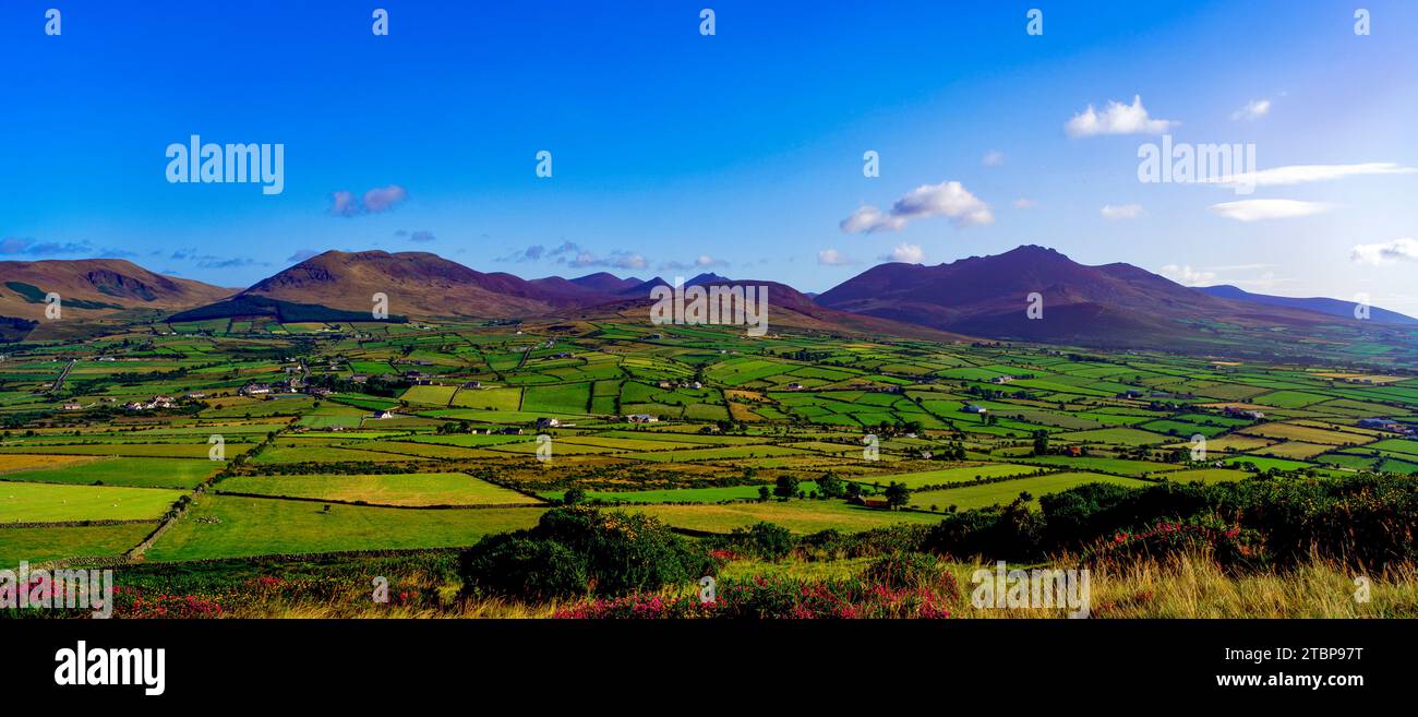 Man-made underground passage in MomonyMan-made underground passageLocated on the NW-facing slope of a slight NE-SW ridge in a low-lying landscape. In 1984 part of a Man-made underground…
 Man-made underground passage in Kiltybegs (farney By)Man-made underground passageLocated in a NW-SE valley with drumlins to the NE and SW. There are local reports of an underground passage or…
 Man-made underground passage in Kiltybegs (farney By)Man-made underground passageUnder the western edge of the Kiltybegs rath, a narrow passage cut through solid earth disappeared into darkness before…
 Man-made underground passage in Killark (farney By.)Man-made underground passageLocated in a low-lying position in an undulating landscape. There is local information on the discovery of a cave…
 Man-made underground passage in Killark (farney By.)Man-made underground passageLocated in a fold between drumlins, the summits of which are c. 200-250m to the NW and NNE. There is a local belief…
 Man-made underground passage in GortlannaMan-made underground passageNo stone remains to prove the tunnel, only a shallow wound in the drumlin beside the rath. The main channel stretches…
 Man-made underground passage in GarradevlinMan-made underground passageNo stones remain, only a long shallow ditch and a shorter spur cutting across the western rise inside the rath. The…
 Man-made underground passage in EnnisMan-made underground passageLocated on relatively high ground in a low-lying landscape with good views in all directions. It was discovered during…