What is recorded here
Fairy fort in Drumbroagh, County Monaghan, is a subcircular earthen ringfort on a drumlin ridge, with a broad bank, shallow outer ditch, and a causewayed entrance at the south-east. People may have lived, kept animals, or marked territory there before the field changed around it. The name suggests later belief that the place belonged to unseen neighbours rather than ordinary humans.
Situated on a local prominence towards the SE end of an NW-SE drumlin ridge. This is a subcircular overgrown area (dims 32m NE-SW; 27.2m NW-SE) that slopes down slightly to the SE (H 1.8m) defined by an overgrown earthen bank (Wth 5.6-7.6m; int. H 0.7-1.4m; ext. H 1.9-2.4m), and an outer rounded fosse (Wth of top 6.2m; ext. D 0.2m) ESE-W with traces of it elsewhere. The inner face of the bank is stone-lined SW-NNW, which is probably modern. A field bank, now removed, approaching from the NW incorporated the bank in an outer stone facing NW-ENE. There is an entrance (Wth of base 1.7m) and causeway (Wth of top 3.1m; H 0.4m) at SSE.
The above description is derived from the published 'Archaeological Inventory of County Monaghan' (Dublin: Stationery Office, 1986). In certain instances the entries have been revised and updated in the light of recent research.
Date of revision: 8 December 2017
The monument record does not grant public access. Check the route and ask the landowner before entering private land.
- What survives
- Recorded monument
Places near here
 Man-made underground passage in CornasleeveMan-made underground passage · 1041 yd
 Fin McCools TableMegalithic tomb · 1612 yd
 kilnkiln · 1.3 mi
 TobernagalliaghSpring · 1.6 mi
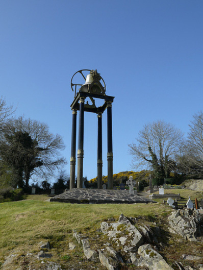 Saint Mary's Catholic Churchbell tower/stand · 1.7 mi
 Horse-chestnutHorse-chestnut · 1.9 mi
 Mannan Castle (in ruins)Castle, Anglo-Norman masonry castle · 2.2 mi
 European BeechEuropean Beech · 2.6 mi
 Gully IslandIslet · 4.1 mi
 RaferaghMountain / peak · 4.3 mi
 Rock IslandIslet · 4.3 mi
 Drumerlough MoreMountain / peak · 4.6 mi