
What is recorded here
It is described in gothic lettering as ‘Fin McCool’s Table’ on the 1834 edition of the OS 6-inch map, and the OS Memoirs record that 'it is said that there once was a cromlech and the pieces of rock of which it was composed were not long since destroyed for the purposes of being converted into lime in the kiln at the side of the cliff’ (RIA Box 49, Magheross Parish, p. 22a). No archaeological feature is visible at ground level.
The above description is derived from the published 'Archaeological Inventory of County Monaghan' (Dublin: Stationery Office, 1986). In certain instances the entries have been revised and updated in the light of recent research.
Date of upload: 17 July 2007
Portal dolmen; likely dates to the Neolithic or early Bronze Age. Its association with Fin McCool in local tradition highlights its role in both prehistoric funerary practice and later folklore.
The monument record does not grant public access. Check the route and ask the landowner before entering private land.
- What survives
- Recorded monument
Places near here
 Fairy fort / earthen ringfort in AghalileFairy fort / earthen ringfort · 1486 yd
 Man-made underground passage in CornasleeveMan-made underground passage · 1550 yd
 kilnkiln · 1627 yd
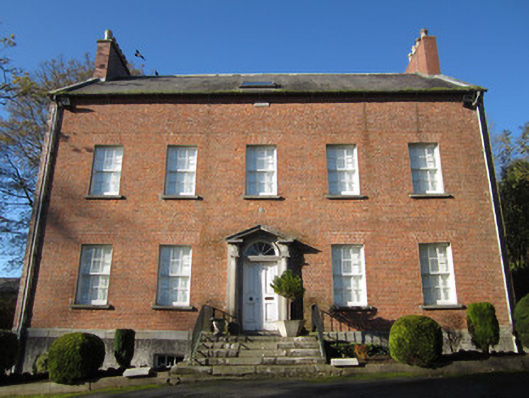 Derryolam Houserectory/glebe/vicarage/curate's house · 1.2 mi
 Horse-chestnutHorse-chestnut · 1.2 mi
 Mannan Castle (in ruins)Castle, Anglo-Norman masonry castle · 1.6 mi
 TobernagalliaghSpring · 1.7 mi
 European BeechEuropean Beech · 2.1 mi
 Drumerlough MoreMountain / peak · 4.7 mi
 Gully IslandIslet · 4.9 mi
 CastleCastle, motte and bailey · 4.9 mi
 RaferaghMountain / peak · 4.9 mi
Other information
Photo: Credit not shown in the picture search · Rights wording not checked; contact us if this picture should be removed