What is recorded here
The first part of the first answer contained an instruction and never reached the first story setting. The failure is visible in the answer being judged. The second part contains the missing story setting and must appear before the first answer ends.
Located at the SE end of a NW-SE drumlin ridge. A circular embanked enclosure (ext. diam. c. 45m) described in gothic lettering as a ‘fort’ is depicted on the 1834 edition of the OS 6-inch map but it is represented as a small arc of a bank (Chord c. 25m) at S incorporated in a WNW-ESE field bank on the 1907 edition. A subcircular grass-covered area (dims c. 33m E-W; c. 28m N-S) that slopes down to the E is defined by a curved field bank SE-SW that morphs into a scarp (H 1.3m) E-SE. The field bank has been removed since 1967 (OSAP: 2000).
The above description is derived from the published 'Archaeological Inventory of County Monaghan' (Dublin: Stationery Office, 1986). In certain instances the entries have been revised and updated in the light of recent research.
Date of revision: 8 December 2017
This remains an important historical record, but the official description says the monument is no longer visible or has been destroyed. The monument record does not grant public access. Check the route and ask the landowner before entering private land.
- What survives
- No visible remains or recorded as destroyed
Places near here
 TobernagalliaghSpring · 557 yd
 kilnkiln · 1109 yd
 Man-made underground passage in CornasleeveMan-made underground passage · 1245 yd
 Enclosure in DonaghmoyneEnclosure · 1.2 mi
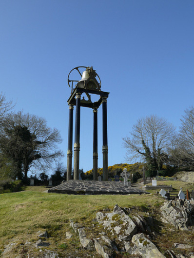 Saint Mary's Catholic Churchbell tower/stand · 1.3 mi
 Mannan Castle (in ruins)Castle, Anglo-Norman masonry castle · 1.3 mi
 Horse-chestnutHorse-chestnut · 2.6 mi
 European BeechEuropean Beech · 3.5 mi
 Fincarn HillMountain / peak · 3.8 mi
 KnockreaghMountain / peak · 3.8 mi
 Gully IslandIslet · 3.8 mi
 Rock IslandIslet · 4.1 mi