
What is recorded here
Located in woodland on a N-facing slope overlooking Barn Hill Lough which is c. 130m to the NW at the nearest point. There is a shallow court at E consisting of two stones, one on either side of the entry jambs. The chamber (L 3.7m; Wth 1.1m) is aligned E-W and its sides are represented by a single stone to the S and two stones on the N side. A transversely set stone to the W probably indicates segmentation of the gallery. Three large flags 4m N of chamber may be the remains of a kerb.
The above description is derived from the published 'Archaeological Inventory of County Monaghan' (Dublin: Stationery Office, 1986). In certain instances the entries have been revised and updated in the light of recent research.
Compiled by: Michael Moore
Date of revision: 22 February 2018
Court tomb, dating to the Neolithic period (c. 3700–2500 BCE). Its orientation and location suggest ritual or ceremonial significance, typical of early farming communities in Ireland.
The monument record does not grant public access. Check the route and ask the landowner before entering private land.
- What survives
- Recorded monument
Places near here
 The BarnHeritage attraction · 352 yd
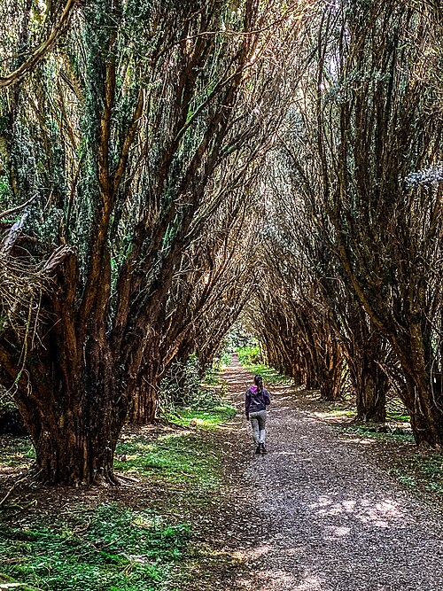 Rossmore Forest ParkWood · 380 yd
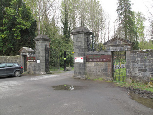 Rossmore Castlegates/railings/walls · 1001 yd
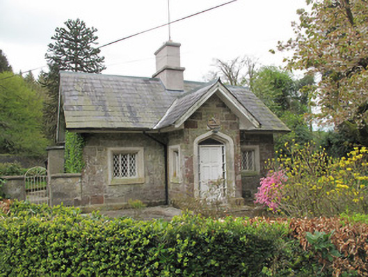 Camla Housegate lodge · 1032 yd
 Megalithic tomb in GortakeeghanMegalithic tomb · 1077 yd
 Mullaghmatt ForestWood · 1133 yd
 Cortolvin ForestWood · 1747 yd
 IndicatedFairy fort / earthen ringfort · 1.1 mi
 Bawn in Roosky (monaghan By., Monaghan Par.)Bawn · 1.6 mi
 Rossmore MonumentMemorial · 1.6 mi
 Rough HillMountain / peak · 3.3 mi
 Castleshane WaterfallWaterfall · 4.3 mi
Other information
Photo: Credit not shown in the picture search · Rights wording not checked; contact us if this picture should be removed