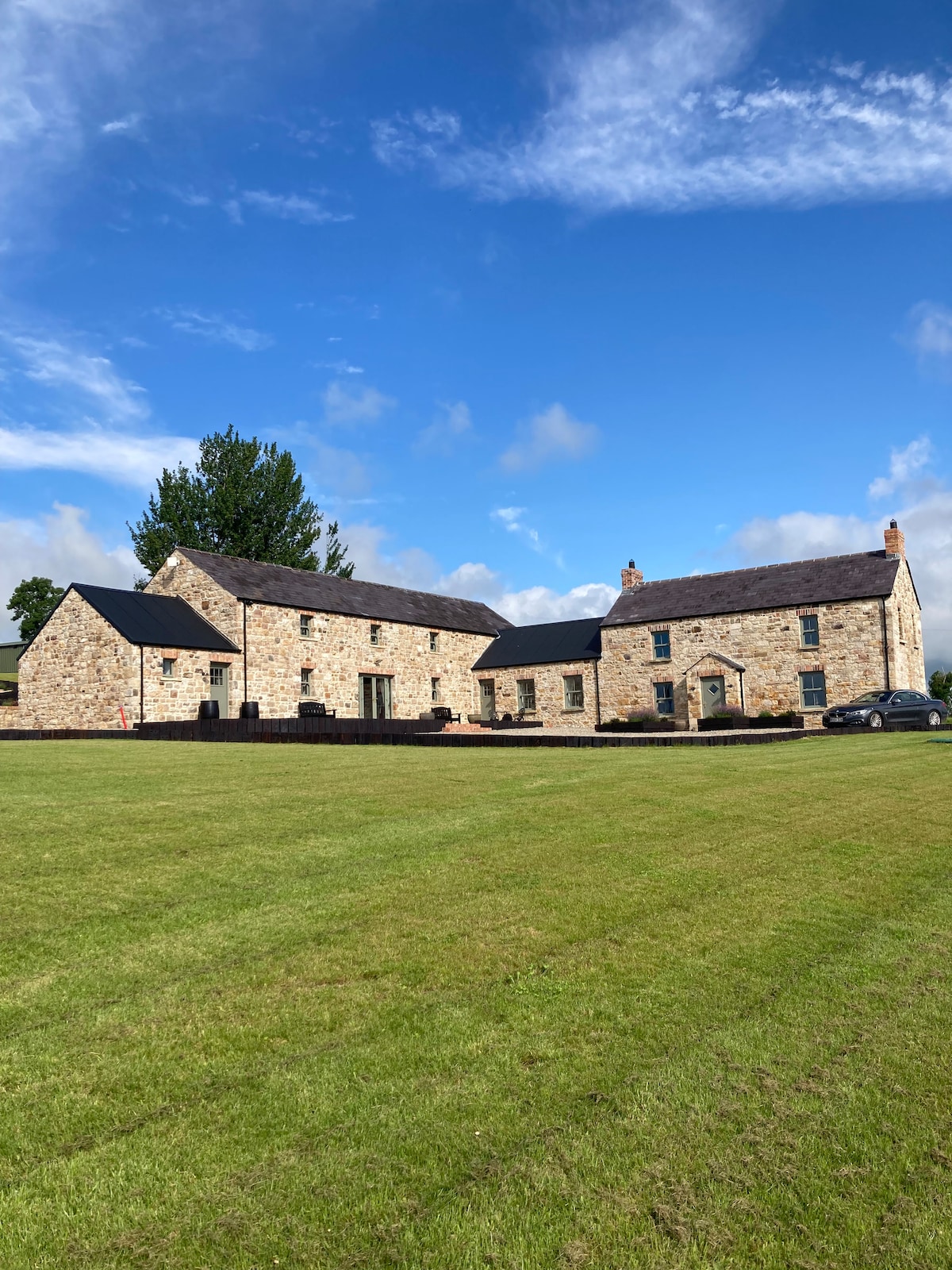
What is recorded here
Located on a rise at the tip of a SW-NE spur. A curve of a field bank on maps of Douglas Estates (1859) and the 1907 edition of the OS 6-inch map suggest the location of what might have been a rath. The curve in the field bank (Chord c. 25m NE-SW) survives but there is no indication of an antiquity.
The above description is derived from the published 'Archaeological Inventory of County Monaghan' (Dublin: Stationery Office, 1986). In certain instances the entries have been revised and updated in the light of recent research.
Compiled by: Michael Moore
Date of revision: 22 February 2018
A local fairy fort (ringfort/rath); wider significance not recorded.
The monument record does not grant public access. Check the route and ask the landowner before entering private land.
- What survives
- Recorded monument
Places near here
 Dagda's CauldronHeritage attraction · 702 yd
 Giant Redwood (1862)Heritage attraction · 831 yd
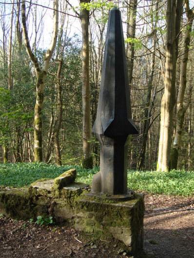 Rossmore Castlegasworks · 1081 yd
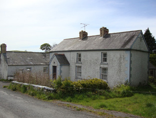 Brookside Cottagehouse · 1538 yd
 Court tomb in KillydrutanCourt tomb · 1.1 mi
 The McMahon StoneArchaeological place · 1.1 mi
 Hazel WoodWood · 1.2 mi
 Mullaghmatt ForestWood · 1.6 mi
 Bawn in Roosky (monaghan By., Monaghan Par.)Bawn · 2.6 mi
 Rough HillMountain / peak · 2.6 mi
 Rossmore MonumentMemorial · 2.6 mi
 Lisarrilly HillMountain / peak · 4.6 mi
Other information
Photo: Credit not shown in the picture search · Rights wording not checked; contact us if this picture should be removed