What is recorded here
Situated just off the E end of a WNW-ESE ridge. This is a raised, circular grass and scrub-covered area (diam. 31m NNE-SSW) defined by an overgrown earthen bank (at WSW: Wth of base 2.7m; int. H 0.25m; ext. H 2.4m) and hedge, with an external fosse SW-N-E that has a field bank outside it WNW-N. This probably incorporates the remains of an outer bank which is visible W-WNW. The entrance (Wth of base 1.2m) and causeway (Wth of top 2.5m; H 0.35m) are at ESE. The interior is bisected by a N-S field bank. Rath (MO013-037----) is c. 190m to the SE.
Situated just off the E end of a WNW-ESE ridge. This is a raised, circular grass and scrub-covered area (diam. 31m NNE-SSW) defined by an overgrown earthen bank (at WSW: Wth of base 2.7m; int. H 0.25m; ext. H 2.4m) and hedge, with an external fosse SW-N-E that has a field bank outside it WNW-N. This probably incorporates the remains of an outer bank which is visible W-WNW. The entrance (Wth of base 1.2m) and…
From the National Monuments Service (Archaeological Survey of Ireland) record MO013-036
The monument record does not grant public access. Check the route and ask the landowner before entering private land.
- What survives
- Recorded monument
Places near here
Photo credits
- Kenneth Allen, Geograph · Creative Commons Attribution-ShareAlike 2.0
- National Inventory of Architectural Heritage
- Enda O Flaherty, Wikimedia Commons · CC BY-SA 2.0
- Walking with a phone, Wikimedia Commons · CC BY-SA 4.0
- Raymond Okonski, Wikimedia Commons · CC BY-SA 2.0
 Trinity Church (Kilmore)Church/chapel · 714 ydWedge tomb in Greagh (monaghan By., Drumsnat Par.)Wedge tomb · 1073 yd
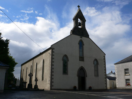 Saint Michael's Catholic ChurchChurch/chapel · 1221 yd
 Giants GreveWedge tomb · 1.1 mi
 Rossmore MausoleumHeritage attraction · 2.6 miGiant Redwood (1862)Heritage attraction · 2.7 miRossmore CastleRuins · 3.0 miHazel WoodWood · 3.8 miLisarrilly HillMountain / peak · 4.4 miBawn in Roosky (monaghan By., Monaghan Par.)Bawn · 4.8 mi
 Rossmore MonumentMemorial · 4.8 miBallybay Wetland CentreNature reserve · 5.0 mi
More archaeology and monuments in County Monaghan · All of County Monaghan
What do you know about this place?