
What is recorded here
Situated in a low-lying landscape with hills to the W and E. This stone has a rectangular base (dims c. 0.95m; x c. 0.65m; H 1.72m) that is roughly aligned NE-SW and a pointed top. Revised by: Michael Moore
Date of revision: 8 May 2018
From the National Monuments Service (Archaeological Survey of Ireland) record MO017-002
The monument record does not grant public access. Check the route and ask the landowner before entering private land.
- What survives
- Recorded monument
Places near here
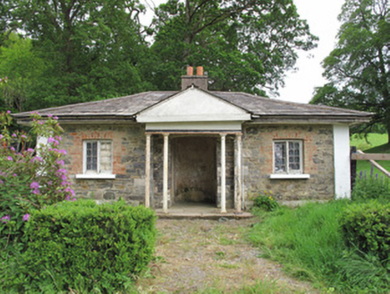 Scarvy HouseGate lodge · 151 yd
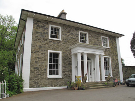 Scarvy HouseCountry house · 340 yd
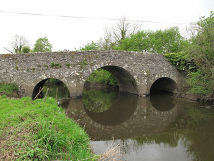 Scarvy BridgeBridge · 768 yd
 European Yew1356 yd
 Abbey RuinsHeritage attraction · 1.4 mi
 Shrine in CrossmoyleShrine · 1.4 mi
 Ulster Canal Stores Visitor CentreHeritage attraction · 1.4 mi
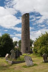 Round Tower1.4 miBawn in CrossmoyleBawn · 1.5 miCastleCastle, motte and bailey · 1.5 miSaint John's WellSpring · 1.6 mi
 Common Lime1.7 mi
Pictures: National Inventory of Architectural Heritage; Sitomon, Wikimedia Commons · CC BY-SA 2.0; Simonchadwick1023, Wikimedia Commons · CC BY-SA 4.0; Andreas F. Borchert, Wikimedia Commons · CC BY-SA 4.0; Kenneth Allen, Geograph · CC BY-SA 2.0; Alvesgaspar, Wikimedia Commons · CC BY-SA 3.0
More archaeology and monuments in County Monaghan · All of County Monaghan
What do you know about this place?