
What is recorded here
Located on a slight rise in a broad W-facing valley with the headwaters of a small E-W stream immediately to the S. This was a dual court tomb that was removed between 1857 and 1907. A plan of the monument among OS records shows two very similar two-chambered galleries aligned N-S and set 4m apart, back to back: N chamber (L 4m), S chamber (L 4.4m). Two set and three displaced stones surviving along the S side of an E-W road fence appear to represent the remains of a court. (Ó Nualláin 1977)
The above description is derived from the published 'Archaeological Inventory of County Monaghan' (Dublin: Stationery Office, 1986). In certain instances the entries have been revised and updated in the light of recent research.
See the attached plan by the OS c. 1835 after Ó Nualláin (1977, fig. 5)
Date of upload: 17 July 2007
Neolithic court tomb, dating to approximately 3000–2500 BCE. Its dual structure and location within a valley highlight its significance as an early communal burial and ceremonial site in the Irish Neolithic landscape.
The monument record does not grant public access. Check the route and ask the landowner before entering private land.
- What survives
- Recorded monument
Places near here
 Giants GravePortal tomb · 355 yd
 Man-made underground passage in CorrameganMan-made underground passage · 491 yd
 Saint Mary's Catholic Churchchurch/chapel · 1.1 mi
 Lisarrilly HillMountain / peak · 1.3 mi
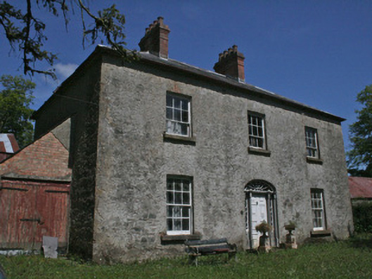 Drumbrean Cottagehouse · 1.3 mi
 Roosky Castle (Site of)Castle, ringwork · 1.7 mi
 Tomb HillMountain / peak · 3.0 mi
 Jaundice WellSpring · 3.6 mi
 Common LimeCommon Lime · 3.7 mi
 KillycoonaghWood · 3.8 mi
 Saint John's WellSpring · 4.0 mi
 Dagda's CauldronHeritage attraction · 4.5 mi
Other information
Photo: Credit not shown in the picture search · Rights wording not checked; contact us if this picture should be removed