
What is recorded here
Situated at the SW tip of a NE-SW ridge or spur, and Just NW of the centre of rath (MO012-082----). A grass-covered trench or depression (dims 8m E-W; 3.8m; D 0.9m) that turns N (dims 7m N-S; 3.4m E-W; D 0.9m) at its W end is probably a destroyed Man-made underground passage, and its further end extends to a break in the bank of the rath at NW.
Compiled by: Michael Moore
Date of upload: 30 January 2018
The monument record does not grant public access. Check the route and ask the landowner before entering private land.
- What survives
- Recorded monument
Places near here
 Giants GravesCourt tomb · 491 yd
 Giants GravePortal tomb · 703 yd
 Saint Mary's Catholic Churchchurch/chapel · 1.2 mi
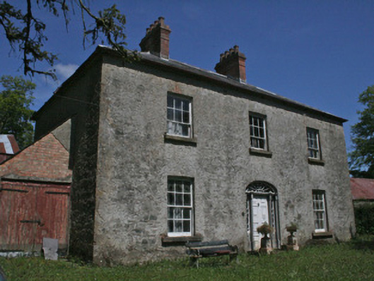 Drumbrean Cottagehouse · 1.2 mi
 Lisarrilly HillMountain / peak · 1.4 mi
 Roosky Castle (Site of)Castle, ringwork · 1.8 mi
 Tomb HillMountain / peak · 2.7 mi
 Common LimeCommon Lime · 3.6 mi
 Jaundice WellSpring · 3.6 mi
 KillycoonaghWood · 3.7 mi
 Saint John's WellSpring · 3.9 mi
 Dagda's CauldronHeritage attraction · 4.8 mi
Other information
Photo: Credit not shown in the picture search · Rights wording not checked; contact us if this picture should be removed