
What is recorded here
Roosky Castle anchored the Dartry McMahon power on a narrow spur above Roosky Lough, where Brian Mac Aodha Óg Mac Mahon kept his late base until his death in 1622. The surviving ringwork is a grass-covered oval, cut from the land by a broad fosse and guarded by scarped sides, while a crannog sits barely fifty metres offshore. Water, grass and distance have removed the house itself, but the shape still points to a residence powerful enough to become the memory of a whole chiefdom.
Situated on a low N-S spur at the E end of the N arm of Roosky Lough (max. dims c. 370m WNW-ESE; c. 160m NNE-SSW), with a small N-S stream forming the E and S edges and with the crannog (MO012-052----) just 50m offshore to the W. Roosky was a power centre of the Dartry McMahons, and Brian Mac Aodha Óg Mac Mahon, the last elected chief of the Mac Mahons who died in 1622 made it his base (Smythe 1954, 5). He was said to have ‘a faire new House’ there to which he retired after 1614 (Ó Mórdha 1957, 155-9), and this may be what was called the castle.
This location is described only on the 1907 edition of the OS 6-inch map as the ‘site of Roosky Castle’. Ruskill (Roosky (6)) is indicated in Killkeevan parish on the Down Survey (1656-8) barony map of Dartry, for which see this web-page accessed on 20/04/2016 http://downsurvey.tcd.ie/down-survey but no structure is indicated. In the local folk tradition (IFC 951, 326: https://www.duchas.ie/en/cbes) it was known to be a McMahon castle.
A grass-covered fosse (Wth of top 12m; Wth of base 4m; int. D 1.4m; ext. D c. 1.2m) WNW-N-NE and curving out to the N separates the promontory from the land to the N creating an oval, grass-covered enclosure (dims 65m NNW-SSE; 30m WSW-ENE) with scarped sides at W and E (H c. 1.8-2.4m). There are no internal structures visible or any evidence of a causeway across the fosse.
The above description is derived from the published 'Archaeological Inventory of County Monaghan' (Dublin: Stationery Office, 1986). In certain instances the entries have been revised and updated in the light of recent research.
Compiled by: Michael Moore
Date of revision: 29 January, 2018
The monument record does not grant public access. Check the route and ask the landowner before entering private land.
- What survives
- Recorded monument
Places near here
 IndicatedCrannog · 324 yd
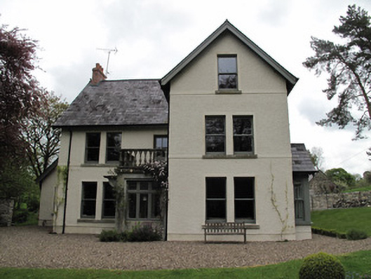 Millviewmill manager's house · 801 yd
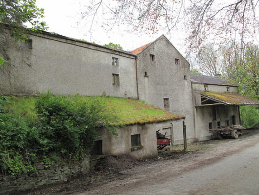 Historic buildingOfficially recorded historic building · 838 yd
 Lisarrilly HillMountain / peak · 863 yd
 Court tomb in ListellanCourt tomb · 890 yd
 Jaundice WellSpring · 1.9 mi
 KillycoonaghWood · 2.3 mi
 Common LimeCommon Lime · 2.3 mi
 Saint John's WellSpring · 2.5 mi
 Tomb HillMountain / peak · 3.6 mi
 Dagda's CauldronHeritage attraction · 5.4 mi
 Giant Redwood (1862)Heritage attraction · 5.4 mi
Other information
Photo: Credit not shown · Copyright shown; no reuse licence shown