
What is recorded here
Located in Roosky Lough, which is a rectangular lake (max. dims c. 370m WNW-ESE; c. 160m NNE-SSW) with a rectangular extension (max. dims c. 350m NNE-SSW; c. 110m WNW-ESE) extending S from its W end. It is suggested that there are three crannogs in the lake (Smyth 1954, 5), and this might be the third. The lake is greatly reduced from its representation on the 1834 edition of the OS 6-inch map, but this feature, depicted as the bulbous end of a promontory (dims c. 25m NE-SW; c. 15m NW-SE) on the 1907 OS 6-inch map appears to be a natural feature.
The above description is derived from the published 'Archaeological Inventory of County Monaghan' (Dublin: Stationery Office, 1986). In certain instances the entries have been revised and updated in the light of recent research.
Revised by: Michael Moore
Date of revision: 17 July 2007
The monument record does not grant public access. Check the route and ask the landowner before entering private land.
- What survives
- Recorded monument
Places near here
 Roosky Castle (Site of)Castle, ringwork · 324 yd
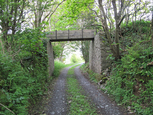 aqueductaqueduct · 589 yd
 8Archaeological place · 641 yd
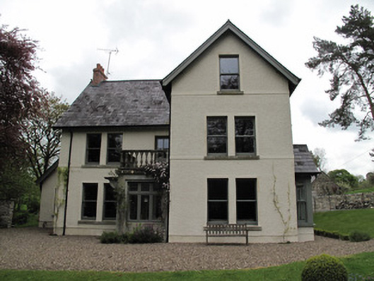 Millviewmill manager's house · 730 yd
 6Archaeological place · 860 yd
 Lisarrilly HillMountain / peak · 1188 yd
 Jaundice WellSpring · 1.7 mi
 KillycoonaghWood · 2.1 mi
 Common LimeCommon Lime · 2.1 mi
 Saint John's WellSpring · 2.3 mi
 Tomb HillMountain / peak · 3.7 mi
 Ulster Canal Stores Visitor CentreHeritage attraction · 4.5 mi
Other information
Photo: Credit not shown in the picture search · Rights wording not checked; contact us if this picture should be removed