
What is recorded here
Located at the S summit of a N-S drumlin ridge. It is not recorded on any map but is mentioned in the Schools’ Manuscripts (IFC, Schools’ Mss (953) 375: https://www.duchas.ie/en/cbes ). This is a cairn (L 23m; Wth 11m) orientated NE-SW, incorporating at the NE end the fairly full remains of a three-quarter court (Wth 5.5m NW-SE; D 6m NE-SW). Single façade stones (H 1.1m) survive at either side of the court. A NNE-SSW field boundary crosses the cairn and partly defines the NW extent of the court. The gallery (L 7.2m; Wth 1.5m) narrows from the front to the rear and is divided into three chambers by two sets of jambs.
The above description is derived from the published 'Archaeological Inventory of County Monaghan' (Dublin: Stationery Office, 1986). In certain instances the entries have been revised and updated in the light of recent research.
Compiled by: Michael Moore
Date of revision: 22 February 2018
Court tomb, dating to the Neolithic period (c. 4000–2500 BCE). These tombs are significant as early communal burial sites, reflecting complex social structures and ritual practices in prehistoric Ireland.
The monument record does not grant public access. Check the route and ask the landowner before entering private land.
- What survives
- Recorded monument
Places near here
 Megalithic tomb in CarnbaneMegalithic tomb · 304 yd
 Giants GraveMegalithic tomb · 434 yd
 Church in Mullanacross (monaghan By.)Church · 1.0 mi
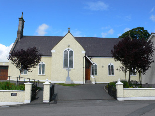 Saint Mary's Catholic Churchchurch/chapel · 1.1 mi
 Lisarrilly HillMountain / peak · 2.4 mi
 Hazel WoodWood · 2.5 mi
 Dagda's CauldronHeritage attraction · 2.5 mi
 Giant Redwood (1862)Heritage attraction · 2.6 mi
 Roosky Castle (Site of)Castle, ringwork · 2.8 mi
 Jaundice WellSpring · 3.8 mi
 Bawn in Roosky (monaghan By., Monaghan Par.)Bawn · 4.7 mi
 Rossmore MonumentMemorial · 4.7 mi
Other information
Photo: Credit not shown in the picture search · Rights wording not checked; contact us if this picture should be removed