
What is recorded here
Church in Mullanacross sits on a knoll with a mass-rock alcove and a draught off the lough. On a lively day, you’d be halfway through asking for heavenly guidance when your hat received some and set off without you.
Situated on a knoll overlooking Drumsnat Lough (max. dims c. 220m NE-SW; c. 150m NW-SE), which is c. 60m to the NE. The church of Drumsnat is under the patronage of St Molua of Kyle, Co. Laois (LA015-023001-), who was a sixth century saint descended from the Corca Oiche sept of the Ulaidh. According to a twelfth century life influenced by Augustinian interests he was educated at the monastery of Bangor, Co. Down, before moving to Drumsnat and finally settling at Kyle (Ó Riain 2011, 490-3). Molua’s church is probably in Selloo (MO008-011----), c. 5km to the NW (Smyth 1953) rather than at Mullanacross. The parish church is listed as the Capella (chapel) de Druymsnetta together with the church of Kilmore (MO009-035001-) in the ecclesiastical taxation (1302-06) of Pope Nicholas IV (Shirley 1879, 289), and the names of some of the clergy are known from 1427 (Leslie 1929, 185-7). According to the visitation of Bishop Spottiswood the church was ruinous in 1622 (McKenna 1920, 1, 306). The ruins of a church building are depicted opposite Drumsnat Lough on Mc Crea’s map of Monaghan dating from 1793 (NLI 16 I. 10(20)). There is no evidence now of a church building within a subrectangular graveyard (dims c. 60m E-W; c. 28-35m N-S) defined by earthen banks or scarps with hedges. There is a gate and masonry piers at the E angle where a short lane (L c. 20m) leads NE to a public road. Portion of a chamfered doorjamb and two corbels decorated with carved heads that were recorded in the graveyard in 1940 (ITA survey; McMahon 1979, 143) are now in storage with Monaghan County Museum. Within the graveyard is a disc-headed cross (H 1m; span 0.65m) with a solid ring (diam. 0.51-0.53m; T 0.16m) and a rectangular cross-section at the base (dims 0.33m x 0.13m). The cross is probably seventeenth century in date, although there is no inscription. The ring is emphasised by four D-shaped depressions (dims 0.2m x 0.1m; D 2cm) on the E face. A mass-rock under its canopy or bothóg has been established to one side of the entrance gate since c. 1800 and an area of exposed bedrock beside it is where coffins were rested before entering the graveyard (Ó Dubhthaigh 1966, 94-5). The mass-rock is a stone (dims 1.1m x 0.36m; T 0.1m) on a masonry pier (H 0.7m) in an arched alcove (dims 1.12m x 1.1m; H 1.6m) with a small recess (Wth 0.3m; H 0.42m; D 0.21m) in the back wall of the alcove. The inscriptions on the headstones dating from 1719 have been recorded (ibid. 98-103), but the earliest noted in a modern survey by Irish Graveyard Surveys, which is displayed by the entrance, is 1705.
Situated on a knoll overlooking Drumsnat Lough (max. dims c. 220m NE-SW; c. 150m NW-SE), which is c. 60m to the NE. The church of Drumsnat is under the patronage of St Molua of Kyle, Co. Laois (LA015-023001-), who was a sixth century saint descended from the Corca Oiche sept of the Ulaidh. According to a twelfth century life influenced by Augustinian interests he was educated at the monastery of Bangor, Co. Down,…
From the National Monuments Service (Archaeological Survey of Ireland) record MO013-002003
The monument record does not grant public access. Check the route and ask the landowner before entering private land.
- What survives
- Recorded monument
Places near here
Photo credits
- National Inventory of Architectural Heritage
- Walking with a phone, Wikimedia Commons · CC BY-SA 4.0
- Enda O Flaherty, Wikimedia Commons · CC BY-SA 2.0
- Raymond Okonski, Wikimedia Commons · CC BY-SA 2.0
- Brian Lenehan, Geograph · CC BY-SA 2.0
- Andreas F. Borchert, Wikimedia Commons · CC BY-SA 3.0 de
- Alvesgaspar, Wikimedia Commons · CC BY-SA 3.0
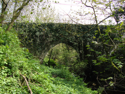 Drumsnat BridgeBridge · 118 yd
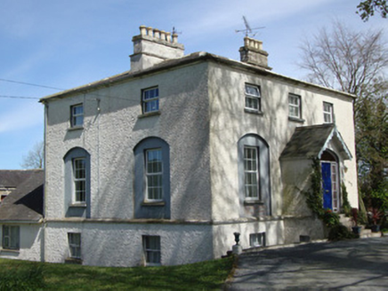 The RectoryRectory/glebe/vicarage/curate's house · 313 ydRough HillMountain / peak · 1.5 miHazel WoodWood · 1.9 miRossmore CastleRuins · 2.7 mi
 Rossmore MausoleumHeritage attraction · 2.7 mi
 Giants GreveWedge tomb · 2.9 miLisarrilly HillMountain / peak · 3.1 mi
 Rossmore MonumentMemorial · 4.3 mi
 Old Cross SquareMonument · 4.4 mi
 Monaghan County MuseumMuseum · 4.5 mi
 Common Lime5.5 mi
More historic places in County Monaghan · All of County Monaghan
What do you know about this place?