
What is recorded here
Situated at the crest of the NE-facing slope of a NE-SW drumlin ridge. This rath is depicted on McCrea’s map of County Monaghan (1793) and on the 1834 and 1907 editions of the OS 6-inch map. It is a circular grass and rush-covered area (diam. 35.5m E-W; 32m N-S) defined by an overgrown earthen bank (Wth of base 4m; int. H c. c. 0.3m at W; ext. H c. 0.9m) SW-W-NE that is largely reduced to an overgrown scarp (at E: H c. 2.5m) with some mature scots pine trees separated by a berm (at SW: Wth 3.1m) from an overgrown outer bank (at SSW: Wth of base 3.8m; int. H 0.9m; ext. H 1.15m) that is likely to be a field bank with an outer drain. There are entrances through the inner (Wth of base 2.5m) and outer (Wth of base 1.7m) banks at NE and through the inner (Wth of base 2.5m) and outer (Wth of base 2.5m) banks at WSW, either of which might be original, although in neither case do the inner and outer gaps align perfectly.
The above description is derived from the published 'Archaeological Inventory of County Monaghan' (Dublin: Stationery Office, 1986). In certain instances the entries have been revised and updated in the light of recent research.
Revised by: Michael Moore
Date of revision: 8 May 2018
A local fairy fort (ringfort/rath); wider significance not recorded.
The monument record does not grant public access. Check the route and ask the landowner before entering private land.
- What survives
- Recorded monument
Places near here
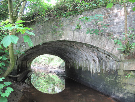 Corrachulter Bridgebridge · 1193 yd
 IndicatedCrannog · 1201 yd
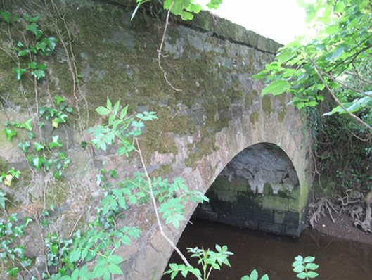 Madams Bridgebridge · 1336 yd
 Enclosure in DrumananEnclosure · 1509 yd
 Tomb HillMountain / peak · 1.2 mi
 Common LimeCommon Lime · 3.1 mi
 CortoberMountain / peak · 3.2 mi
 KillycoonaghWood · 3.3 mi
 Saint John's WellSpring · 3.4 mi
 Roosky Castle (Site of)Castle, ringwork · 3.6 mi
 Jaundice WellSpring · 4.9 mi
 Bawn in DrumsheilBawn · 4.9 mi
Other information
Photo: Credit not shown in the picture search · Rights wording not checked; contact us if this picture should be removed