
What is recorded here
Situated on a slight rise between drumlins, it is not depicted on any OS map. This is a court-tomb with a slightly curved gallery (L c. 5m; Wth 1.4m) aligned roughly NW-SE. A single stone to the SE of the gallery is probably a court stone. A number of the stones are shattered.
The above description is derived from the published 'Archaeological Inventory of County Monaghan' (Dublin: Stationery Office, 1986). In certain instances the entries have been revised and updated in the light of recent research.
Revised by: Michael Moore
Date of revision: 9 May 2018
Court tomb, dating to the Neolithic period (c. 4000–2500 BCE). Its curved gallery and alignment are typical of early megalithic funerary architecture in Ireland, reflecting ritual practices and communal organisation of the time.
The monument record does not grant public access. Check the route and ask the landowner before entering private land.
- What survives
- Recorded monument
Places near here
 Grave YardBurial ground · 364 yd
 Hut site in Drumguillew UpperHut site · 1133 yd
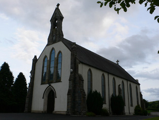 All Saints' Catholic Churchchurch/chapel · 1.5 mi
 mill (water)mill (water) · 1.5 mi
 Fort HillWood · 2.3 mi
 Monaghan WayWalking route · 2.4 mi
 IllanshivansIslet · 2.7 mi
 Laragh WoodForest · 2.7 mi
 Lough Egish IslandIslet · 2.8 mi
 The CrescentMemorial · 3.1 mi
 Bawn in OnomyBawn · 3.8 mi
 Blaney CastleCastle · 3.8 mi
Other information
Photo: Credit not shown in the picture search · Rights wording not checked; contact us if this picture should be removed